
ဖိုင်:Punjab districts blank.png
သည်ထက်ကြီးသော resolution မရှိပါ.
Punjab_districts_blank.png (၅၅၆ × ၅၉၉ pixels, ဖိုင်အရွယ်အစား - ၁၀၆ KB, MIME အမျိုးအစား image/png)
| ဤဖိုင်သည် Wikimedia Commons မှဖြစ်ပြီး အခြားပရောဂျက်များတွင် သုံးကောင်းသုံးလိမ့်မည်။ ယင်း၏ ဖိုင်အကြောင်းစာမျက်နှာ တွင် ဖော်ပြထားချက်ကို အောက်တွင် ပြထားသည်။ Commons သည် မူပိုင်ခွင့်လွတ်လပ်သော မီဒီယာဖိုင်များ သိုလှောင်ထားရာ နေရာ ဖြစ်သည်။ သင်လည်း ပါဝင်ကူညီနိုင်ပါသည်။ |

|
This locator map image could be re-created using vector graphics as an SVG file. This has several advantages; see Commons:Media for cleanup for more information. If an SVG form of this image is available, please upload it and afterwards replace this template with
{{vector version available|new image name}}.
It is recommended to name the SVG file “Punjab districts blank.svg”—then the template Vector version available (or Vva) does not need the new image name parameter. |
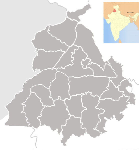
| ဖော်ပြချက် | Blank map of districts of Punjab, India. |
| ရက်စွဲ | (UTC) |
| ရင်းမြစ် | |
| စာရေးသူ |
|
| This is a retouched picture, which means that it has been digitally altered from its original version. The original can be viewed here: Punjab locator map.svg:
|
ကျွန်ုပ်၊ ဤလုပ်ဆောင်ချက်၏ မူပိုင်ခွင့်ပိုင်ရှင်အနေဖြင့် ဤနေရာမှ အောက်ပါလိုင်စင်အောက်တွင် ထုတ်လွှင့်ပါသည်:
ဤဖိုင်ကို Creative Commons Attribution-Share Alike 3.0 Unported လိုင်စင်ဖြင့် သတ်မှတ်ထားသည်။
- သင်သည် လွတ်လပ်စွာ:
- မျှဝေရန် – ဖန်တီးမှုကို ကူးယူရန်၊ ဖြန့်ဖြူးရန်နှင့် ထုတ်လွှင့်ရန်
- ပြန်ရောနှောရန် – ဖန်တီးမှုကို ပြင်ဆင်ညှိနှိုင်းရန်
- အောက်ပါ အခြေအနေများတွင်:
- မှတ်ယူနိုင်ခြင်း – ပြောင်းလဲမှုများ ပြုလုပ်ခဲ့ပါက ဖန်တီးသူ သို့မဟုတ် လိုင်စင်ရှိသူမှ သတ်မှတ်သော အမျိုးအစားကို လိုက်နာရမည် (ဆိုလိုသည်မှာ သင့်အား သို့မဟုတ် သင့်ဖန်တီးမှုတွင် အသုံးပြုခြင်းအား ထောက်ခံချက်ပေးသည်ဟု မဆိုလိုပါ)။
- ထပ်တူမျှဝေ – ဤဖန်တီးမှုအား ပြင်ဆင်ခြင်း၊ ပြောင်းလဲခြင်း သို့မဟုတ် ထပ်ဆင့် ဖန်တီးခြင်း ပြုလုပ်ပါက ရရှိလာသော ဖန်တီးမှုကို ဤဖန်တီးမှုနှင့် သို့မဟုတ် ဆင်တူသော လိုင်စင်ဖြင့်သာ ဖြန့်ချိသင့်သည်။
မူရင်းတင်ထားသောမှတ်တမ်း
This image is a derivative work of the following images:
- File:Punjab_locator_map.svg licensed with Cc-by-sa-3.0
- 2007-04-25T18:25:41Z PlaneMad 2393x1956 (192941 Bytes) {{WikiProject_India_Maps |Title=Punjab locator map |Description=Locator map of the state of [[w:Punjab]], [[w:India|India]] with district boundaries, major highways, railways and water bodies. |Source=[www.punjabtourism.org/t
Uploaded with derivativeFX
ဖိုင်မှတ်တမ်း
ဖိုင်ကို ယင်းနေ့စွဲ အတိုင်း မြင်နိုင်ရန် နေ့စွဲ/အချိန် တစ်ခုခုပေါ်တွင် ကလစ်နှိပ်ပါ။
| နေ့စွဲ/အချိန် | နမူနာပုံငယ် | မှတ်တမ်း ဒိုင်မန်းရှင်းများ | အသုံးပြုသူ | မှတ်ချက် | |
|---|---|---|---|---|---|
| ကာလပေါ် | ၂၀:၃၉၊ ၁၁ ဇွန် ၂၀၁၃ | | ၅၅၆ × ၅၉၉ (၁၀၆ KB) | Jujhar.pannu | Modified district borders adding Pathankot and slight touchups |
| ၀၃:၁၂၊ ၂၄ စက်တင်ဘာ ၂၀၀၉ |  | ၉၅၅ × ၁၀၂၉ (၁၅၅ KB) | Abhijitsathe | {{Information |Description=Blank map of districts of Punjab, India. |Source=*File:Punjab_locator_map.svg |Date=2009-09-24 03:11 (UTC) |Author=*File:Punjab_locator_map.svg: '''PlaneMad''' *derivative work: ~~~ |Permission=see |
ဖိုင်သုံးစွဲမှု
အောက်ပါ စာမျက်နှာ သည် ဤဖိုင်ကို အသုံးပြုထားသည်:
ဂလိုဘယ် ဖိုင်သုံးစွဲမှု
အောက်ပါ အခြားဝီကီများတွင် ဤဖိုင်ကို အသုံးပြုထားသည်-
- bn.wikipedia.org တွင် အသုံးပြုမှု
- জিরা, পাঞ্জাব
- জিরাকপুর
- চোহাল
- আবোহার
- দারোহা
- দাসুয়া
- দৌলতপুর (পাঞ্জাব)
- ডেরা বাবা নানক
- ডেরা বাস্সি
- ধানাউলা
- ধরমকোট
- ধারিওয়াল
- ধিলওয়ান
- ধুরি
- দিনা নগর
- দিরবা
- ফরিদকোট
- ফতেহগড় চুরিয়ান
- ফাজিলকা
- ফিরোজপুর
- ফিরোজপুর ক্যন্টনমেন্ট
- গার্দিওয়ালা
- গড়শানকের
- ঘাগ্গা
- গানৌর
- গিদ্দেরবাহা
- গোনিয়ানা
- আমলোহ
- গোরায়া
- গুরুদাসপুর
- গুরু হর শাহি
- হানদিয়া
- হরিয়ানা (পাঞ্জাব)
- হোশিয়ারপুর
- হুসেইনপুর
- আনন্দপুর সাহিব
- জাগরাওন
- জয়তু
- জালালাবাদ, ফাজিলকা
- জলন্ধর
- জলন্ধর ক্যন্টনমেন্ট
- জান্দিয়ালা গুরু
- জান্দিয়ালা (জলন্ধর)
- জুগিয়াল
- কালানৌর
- কাপুরথালা, পাঞ্জাব
- কারোরান
- কার্টাপুর
- আদমপুর (পাঞ্জাব)
- খামানোন
ဤဖိုင်ကို အခြားနေရာများတွင် အသုံးပြုထားမှုများအား ကြည့်ရှုရန်။