
ဖိုင်:Norway Counties Møre og Romsdal Position.svg

Size of this PNG preview of this SVG file: ၅၆၂ × ၆၀၀ ပစ်ဇယ်. အခြား ပုံရိပ်ပြတ်သားမှု: ၂၂၅ × ၂၄၀ ပစ်ဇယ် | ၄၅၀ × ၄၈၀ ပစ်ဇယ် | ၇၁၉ × ၇၆၈ ပစ်ဇယ် | ၉၅၉ × ၁၀၂၄ ပစ်ဇယ် | ၁၉၁၈ × ၂၀၄၈ ပစ်ဇယ် | ၇၄၀ × ၇၉၀ ပစ်ဇယ်။
မူရင်းဖိုင် (SVG ဖိုင်, ၇၄၀ × ၇၉၀ pixels ကို အကြံပြုသည်, ဖိုင်အရွယ်အစား - ၅၄ KB)
| ဤဖိုင်သည် Wikimedia Commons မှဖြစ်ပြီး အခြားပရောဂျက်များတွင် သုံးကောင်းသုံးလိမ့်မည်။ ယင်း၏ ဖိုင်အကြောင်းစာမျက်နှာ တွင် ဖော်ပြထားချက်ကို အောက်တွင် ပြထားသည်။ Commons သည် မူပိုင်ခွင့်လွတ်လပ်သော မီဒီယာဖိုင်များ သိုလှောင်ထားရာ နေရာ ဖြစ်သည်။ သင်လည်း ပါဝင်ကူညီနိုင်ပါသည်။ |
အကျဉ်းချုပ်
| ဖော်ပြချက် |
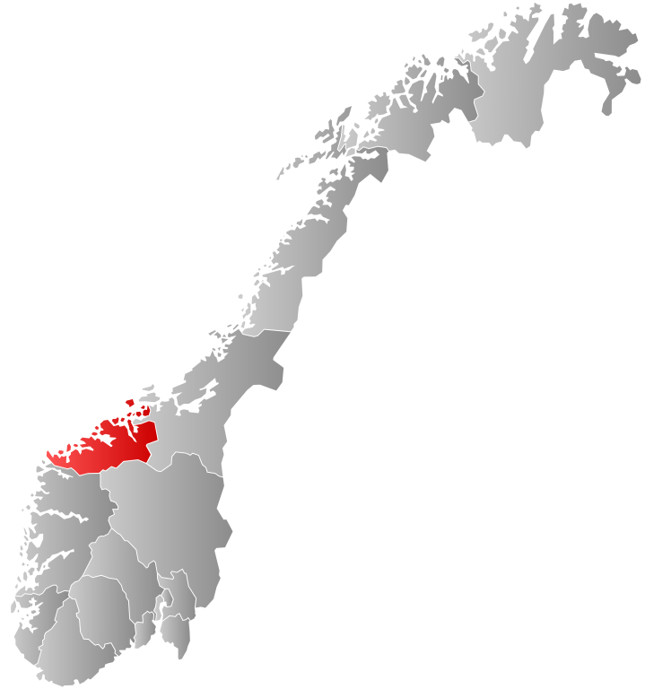
English: Re-upload of User:Marmelad's Møre og Romsdal map so that it can be used in templates on Møre og Romsdal, Kristiansund, etc. |
| ရက်စွဲ | ၂၃ ဧပြီ ၂၀၀၉ (original upload date) |
| ရင်းမြစ် | Transferred from en.wikipedia to Commons. |
| စာရေးသူ | SteveJothen at အင်္ဂလိပ် ဝီကီပီးဒီးယား |
လိုင်စင်သတ်မှတ်ခြင်း
SteveJothen at အင်္ဂလိပ် ဝီကီပီးဒီးယား၊ ဤလုပ်ဆောင်ချက်၏ မူပိုင်ခွင့်ပိုင်ရှင်အနေဖြင့် ဤနေရာမှ အောက်ပါလိုင်စင်အောက်တွင် ထုတ်လွှင့်ပါသည်:
ဤဖိုင်ကို Creative Commons Attribution-Share Alike 3.0 Unported လိုင်စင်ဖြင့် သတ်မှတ်ထားသည်။
မှတ်ယူနိုင်ခြင်း: SteveJothen at အင်္ဂလိပ် ဝီကီပီးဒီးယား
- သင်သည် လွတ်လပ်စွာ:
- မျှဝေရန် – ဖန်တီးမှုကို ကူးယူရန်၊ ဖြန့်ဖြူးရန်နှင့် ထုတ်လွှင့်ရန်
- ပြန်ရောနှောရန် – ဖန်တီးမှုကို ပြင်ဆင်ညှိနှိုင်းရန်
- အောက်ပါ အခြေအနေများတွင်:
- မှတ်ယူနိုင်ခြင်း – ပြောင်းလဲမှုများ ပြုလုပ်ခဲ့ပါက ဖန်တီးသူ သို့မဟုတ် လိုင်စင်ရှိသူမှ သတ်မှတ်သော အမျိုးအစားကို လိုက်နာရမည် (ဆိုလိုသည်မှာ သင့်အား သို့မဟုတ် သင့်ဖန်တီးမှုတွင် အသုံးပြုခြင်းအား ထောက်ခံချက်ပေးသည်ဟု မဆိုလိုပါ)။
- ထပ်တူမျှဝေ – ဤဖန်တီးမှုအား ပြင်ဆင်ခြင်း၊ ပြောင်းလဲခြင်း သို့မဟုတ် ထပ်ဆင့် ဖန်တီးခြင်း ပြုလုပ်ပါက ရရှိလာသော ဖန်တီးမှုကို ဤဖန်တီးမှုနှင့် သို့မဟုတ် ဆင်တူသော လိုင်စင်ဖြင့်သာ ဖြန့်ချိသင့်သည်။
မူရင်းတင်ထားသောမှတ်တမ်း
ဖော်ပြချက် မူရင်းစာမျက်နှာမှာ here ဖြစ်သည်။ အောက်ပါအသုံးပြုသူ အမည်များအားလုံးသည် en.wikipedia ကို ရည်ညွှန်းသည်။
- 2009-04-23 15:18 SteveJothen 512×512× (82413 bytes) Re-upload of [[User:Marmelad]]'s Møre og Romsdal map so that it can be used in templates on [[Møre og Romsdal]], [[Kristiansund]], etc.
ဖိုင်မှတ်တမ်း
ဖိုင်ကို ယင်းနေ့စွဲ အတိုင်း မြင်နိုင်ရန် နေ့စွဲ/အချိန် တစ်ခုခုပေါ်တွင် ကလစ်နှိပ်ပါ။
| နေ့စွဲ/အချိန် | နမူနာပုံငယ် | မှတ်တမ်း ဒိုင်မန်းရှင်းများ | အသုံးပြုသူ | မှတ်ချက် | |
|---|---|---|---|---|---|
| ကာလပေါ် | ၀၀:၄၇၊ ၂ ဇန်နဝါရီ ၂၀၂၄ | | ၇၄၀ × ၇၉၀ (၅၄ KB) | Jay1279 | update county borders for 2024 |
| ၂၂:၄၁၊ ၁ ဇန်နဝါရီ ၂၀၂၀ |  | ၇၄၀ × ၇၉၀ (၅၁ KB) | Bjarkan | Border update for 2020. | |
| ၀၈:၂၆၊ ၂၇ ဇန်နဝါရီ ၂၀၁၉ |  | ၇၄၀ × ၇၉၀ (၆၇ KB) | Bjarkan | Border update (Rindal). | |
| ၀၃:၀၅၊ ၁၇ ဒီဇင်ဘာ ၂၀၁၇ |  | ၇၄၀ × ၇၉၀ (၆၇ KB) | Bjarkan | Improved version. | |
| ၂၃:၄၆၊ ၁၂ ဧပြီ ၂၀၁၃ |  | ၅၆၂ × ၆၀၀ (၇၇ KB) | Jay1279 | Re-upload the updated File:Norway Counties MøreogRomsdal Position.svg by User:Fleinn. Original filename does not work with Template:Infobox kommune, so this filename must be used. | |
| ၂၂:၅၇၊ ၃ ဇန်နဝါရီ ၂၀၁၃ |  | ၅၁၂ × ၅၁၂ (၈၀ KB) | Choihei | {{Information |Description={{en|Re-upload of en:User:Marmelad's Møre og Romsdal map so that it can be used in templates on en:Møre og Romsdal, en:Kristiansund, etc.}} |Source=Transferred from [http://en.wikipedia.org en.wikipedia] |... |
ဖိုင်သုံးစွဲမှု
အောက်ပါ စာမျက်နှာ သည် ဤဖိုင်ကို အသုံးပြုထားသည်:
ဂလိုဘယ် ဖိုင်သုံးစွဲမှု
အောက်ပါ အခြားဝီကီများတွင် ဤဖိုင်ကို အသုံးပြုထားသည်-
- af.wikipedia.org တွင် အသုံးပြုမှု
- ang.wikipedia.org တွင် အသုံးပြုမှု
- ast.wikipedia.org တွင် အသုံးပြုမှု
- azb.wikipedia.org တွင် အသုံးပြုမှု
- bat-smg.wikipedia.org တွင် အသုံးပြုမှု
- bpy.wikipedia.org တွင် အသုံးပြုမှု
- br.wikipedia.org တွင် အသုံးပြုမှု
- bs.wikipedia.org တွင် အသုံးပြုမှု
- da.wikipedia.org တွင် အသုံးပြုမှု
- de.wikipedia.org တွင် အသုံးပြုမှု
- en.wikipedia.org တွင် အသုံးပြုမှု
- Kristiansund
- Molde
- Sunndal
- Surnadal
- Halsa
- Tustna
- Smøla
- Vanylven
- Sande, Møre og Romsdal
- Herøy, Møre og Romsdal
- Ulstein
- Hareid
- Volda
- Ørsta
- Ørskog
- Norddal
- Stranda
- Stordal
- Sykkylven
- Skodje
- Giske
- Haram, Norway
- Vestnes
- Rauma, Norway
- Nesset
- Midsund
- Sandøy
- Aukra
- Fræna
- Eide
- Averøy
- Frei
- Gjemnes
- Tingvoll
- Aure, Norway
- Sula, Møre og Romsdal
- Tresfjord
- Dalsfjord, Møre og Romsdal
- Voll, Møre og Romsdal
- Eid, Møre og Romsdal
ဤဖိုင်ကို အခြားနေရာများတွင် အသုံးပြုထားမှုများအား ကြည့်ရှုရန်။