
ဖိုင်:Angola location map.svg

Size of this PNG preview of this SVG file: ၅၄၇ × ၆၀၀ ပစ်ဇယ်. အခြား ပုံရိပ်ပြတ်သားမှု: ၂၁၉ × ၂၄၀ ပစ်ဇယ် | ၄၃၈ × ၄၈၀ ပစ်ဇယ် | ၇၀၀ × ၇၆၈ ပစ်ဇယ် | ၉၃၄ × ၁၀၂၄ ပစ်ဇယ် | ၁၈၆၈ × ၂၀၄၈ ပစ်ဇယ် | ၁၂၆၆ × ၁၃၈၈ ပစ်ဇယ်။
မူရင်းဖိုင် (SVG ဖိုင်, ၁၂၆၆ × ၁၃၈၈ pixels ကို အကြံပြုသည်, ဖိုင်အရွယ်အစား - ၄၇၈ KB)
| ဤဖိုင်သည် Wikimedia Commons မှဖြစ်ပြီး အခြားပရောဂျက်များတွင် သုံးကောင်းသုံးလိမ့်မည်။ ယင်း၏ ဖိုင်အကြောင်းစာမျက်နှာ တွင် ဖော်ပြထားချက်ကို အောက်တွင် ပြထားသည်။ Commons သည် မူပိုင်ခွင့်လွတ်လပ်သော မီဒီယာဖိုင်များ သိုလှောင်ထားရာ နေရာ ဖြစ်သည်။ သင်လည်း ပါဝင်ကူညီနိုင်ပါသည်။ |
အကျဉ်းချုပ်
| ဖော်ပြချက် |
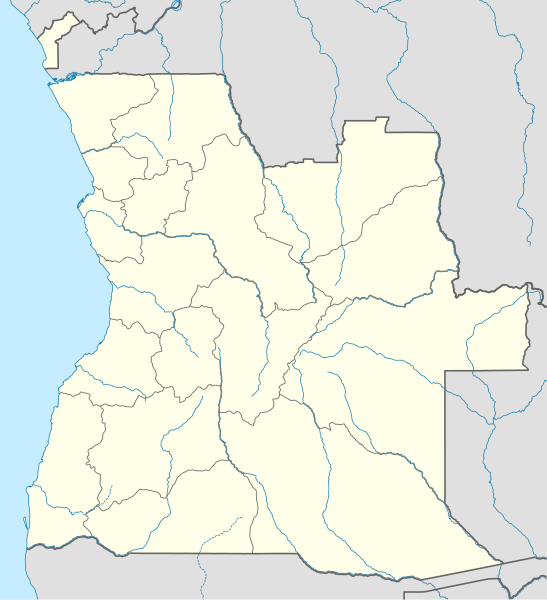
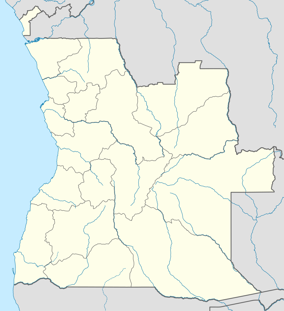
Deutsch: Positionskarte von Angola
Quadratische Plattkarte, N-S-Streckung 102 %. Geographische Begrenzung der Karte:
English: Location map of Angola
Equirectangular projection, N/S stretching 102 %. Geographic limits of the map:
|
||
| ရက်စွဲ | |||
| ရင်းမြစ် |
ကိုယ်ပိုင်ဖန်တီးမှု, using
|
||
| စာရေးသူ | NordNordWest | ||
| ခွင့်ပြုချက် (ဤဖိုင်ကို ပြန်လည်အသုံးပြုခြင်း) |
ကျွန်ုပ်၊ ဤလုပ်ဆောင်ချက်၏ မူပိုင်ခွင့်ပိုင်ရှင်အနေဖြင့် ဤနေရာမှ အောက်ပါလိုင်စင်အောက်တွင် ထုတ်လွှင့်ပါသည်: ဤဖိုင်ကို Creative Commons Attribution-Share Alike 3.0 Unported လိုင်စင်ဖြင့် သတ်မှတ်ထားသည်။
|
||
| SVG genesis | ဤ SVG ၏ ကုဒ်သည် ခိုင်လုံသည်. This map was created with unknown tool.
|

ဖိုင်မှတ်တမ်း
ဖိုင်ကို ယင်းနေ့စွဲ အတိုင်း မြင်နိုင်ရန် နေ့စွဲ/အချိန် တစ်ခုခုပေါ်တွင် ကလစ်နှိပ်ပါ။
| နေ့စွဲ/အချိန် | နမူနာပုံငယ် | မှတ်တမ်း ဒိုင်မန်းရှင်းများ | အသုံးပြုသူ | မှတ်ချက် | |
|---|---|---|---|---|---|
| ကာလပေါ် | ၁၈:၁၅၊ ၂၁ ဩဂုတ် ၂၀၁၉ | | ၁၂၆၆ × ၁၃၈၈ (၄၇၈ KB) | Hallel | Inclusão de novo mapa com as alterações territoriais das províncias do Bengo e Luanda |
| ၁၇:၃၅၊ ၂၀ အောက်တိုဘာ ၂၀၀၉ |  | ၁၂၆၆ × ၁၃၈၈ (၄၇၈ KB) | NordNordWest | =={{int:filedesc}}== {{Information |Description= {{de|Positionskarte von Angola}} Quadratische Plattkarte, N-S-Streckung 102 %. Geographische Begrenzung der Karte: * N: 4.1° S * S: 18.5° S * W: 11.1° O * O: 24.5° O {{en|Location map of |
ဖိုင်သုံးစွဲမှု
အောက်ပါ 4 စာမျက်နှာများ သည် ဤဖိုင်ကို အသုံးပြုထားသည်:
ဂလိုဘယ် ဖိုင်သုံးစွဲမှု
အောက်ပါ အခြားဝီကီများတွင် ဤဖိုင်ကို အသုံးပြုထားသည်-
- af.wikipedia.org တွင် အသုံးပြုမှု
- am.wikipedia.org တွင် အသုံးပြုမှု
- an.wikipedia.org တွင် အသုံးပြုမှု
- ar.wikipedia.org တွင် အသုံးပြုမှု
- ast.wikipedia.org တွင် အသုံးပြုမှု
- Luanda
- Ríu Congu
- Bolongongo
- Bembe
- Londuimbale
- Songo (Angola)
- Camanongue
- N'Zeto
- Lucala
- Lubalo
- África Central
- Comité Paralímpicu Angolanu
- Lubango
- Área de caltenimientu Kavango-Zambeze
- Ríu Zambeze
- Morro do Moco
- Benguela
- Módulu:Mapa de llocalización/datos/Angola
- Módulu:Mapa de llocalización/datos/Angola/usu
- Aeropuertu Internacional Quatro de Fevereiro
- Aeropuertu de Benguela
- Aeropuertu de Cabinda
ဤဖိုင်ကို အခြားနေရာများတွင် အသုံးပြုထားမှုများအား ကြည့်ရှုရန်။