
ဖိုင်:USA Florida location map.svg

Size of this PNG preview of this SVG file: ၆၁၉ × ၅၉၉ ပစ်ဇယ်. အခြား ပုံရိပ်ပြတ်သားမှု: ၂၄၈ × ၂၄၀ ပစ်ဇယ် | ၄၉၆ × ၄၈၀ ပစ်ဇယ် | ၇၉၃ × ၇၆၈ ပစ်ဇယ် | ၁၀၅၈ × ၁၀၂၄ ပစ်ဇယ် | ၂၁၁၅ × ၂၀၄၈ ပစ်ဇယ် | ၁၁၃၂ × ၁၀၉၆ ပစ်ဇယ်။
မူရင်းဖိုင် (SVG ဖိုင်, ၁၁၃၂ × ၁၀၉၆ pixels ကို အကြံပြုသည်, ဖိုင်အရွယ်အစား - ၅၇၈ KB)
| ဤဖိုင်သည် Wikimedia Commons မှဖြစ်ပြီး အခြားပရောဂျက်များတွင် သုံးကောင်းသုံးလိမ့်မည်။ ယင်း၏ ဖိုင်အကြောင်းစာမျက်နှာ တွင် ဖော်ပြထားချက်ကို အောက်တွင် ပြထားသည်။ Commons သည် မူပိုင်ခွင့်လွတ်လပ်သော မီဒီယာဖိုင်များ သိုလှောင်ထားရာ နေရာ ဖြစ်သည်။ သင်လည်း ပါဝင်ကူညီနိုင်ပါသည်။ |
အကျဉ်းချုပ်
| ဖော်ပြချက် |
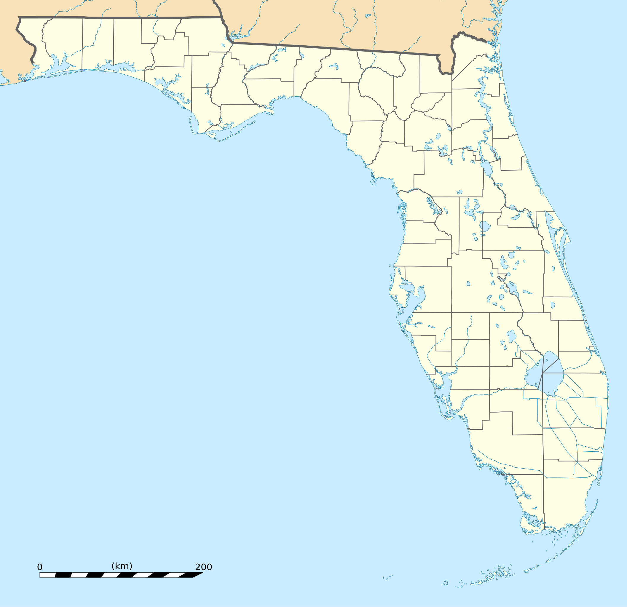
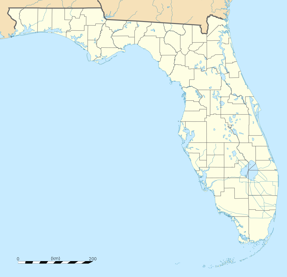
English: Blank administrative map of the State of Florida, USA, for geo-location purpose, with counties boundaries.
Français : Carte administrative vierge de l'état de Floride, États-Unis, destinée à la géolocalisation, avec limite des comtés. Equirectangular projection, WGS84 datum
Scale: 1:2,000,000
|
| ရက်စွဲ | |
| ရင်းမြစ် |
Own work |
| စာရေးသူ | Eric Gaba (Sting - fr:Sting) |
| အခြား ဗားရှင်းများ |
Derivative works of this file: Derivative works of this file:
|
| SVG genesis | ဤ SVG ၏ ကုဒ်သည် ခိုင်လုံသည်။ |


| Camera location | | View this and other nearby images on: OpenStreetMap |
|---|
လိုင်စင်သတ်မှတ်ခြင်း
| Attribution required |
|---|
| Any use of this map can be made as long as you credit me (Eric Gaba – Wikimedia Commons user: Sting) as the author. A message with a reply address would also be greatly appreciated. |
ကျွန်ုပ်၊ ဤလုပ်ဆောင်ချက်၏ မူပိုင်ခွင့်ပိုင်ရှင်အနေဖြင့် ဤနေရာမှ အောက်ပါလိုင်စင်အောက်တွင် ထုတ်လွှင့်ပါသည်:
ဤဖိုင်သည် Creative Commons Attribution 3.0 Unported လိုင်စင်အောက်တွင် လိုင်စင်သတ်မှတ်ထားပါသည်။
- သင်သည် လွတ်လပ်စွာ:
- မျှဝေရန် – ဖန်တီးမှုကို ကူးယူရန်၊ ဖြန့်ဖြူးရန်နှင့် ထုတ်လွှင့်ရန်
- ပြန်ရောနှောရန် – ဖန်တီးမှုကို ပြင်ဆင်ညှိနှိုင်းရန်
- အောက်ပါ အခြေအနေများတွင်:
- မှတ်ယူနိုင်ခြင်း – ပြောင်းလဲမှုများ ပြုလုပ်ခဲ့ပါက ဖန်တီးသူ သို့မဟုတ် လိုင်စင်ရှိသူမှ သတ်မှတ်သော အမျိုးအစားကို လိုက်နာရမည် (ဆိုလိုသည်မှာ သင့်အား သို့မဟုတ် သင့်ဖန်တီးမှုတွင် အသုံးပြုခြင်းအား ထောက်ခံချက်ပေးသည်ဟု မဆိုလိုပါ)။
ဖိုင်မှတ်တမ်း
ဖိုင်ကို ယင်းနေ့စွဲ အတိုင်း မြင်နိုင်ရန် နေ့စွဲ/အချိန် တစ်ခုခုပေါ်တွင် ကလစ်နှိပ်ပါ။
| နေ့စွဲ/အချိန် | နမူနာပုံငယ် | မှတ်တမ်း ဒိုင်မန်းရှင်းများ | အသုံးပြုသူ | မှတ်ချက် | |
|---|---|---|---|---|---|
| ကာလပေါ် | ၂၀:၂၅၊ ၁၅ ဒီဇင်ဘာ ၂၀၀၈ | | ၁၁၃၂ × ၁၀၉၆ (၅၇၈ KB) | Sting | Counties boundaries: thinner strokes |
| ၁၉:၄၉၊ ၁၅ ဒီဇင်ဘာ ၂၀၀၈ |  | ၁၁၃၂ × ၁၀၉၆ (၅၇၈ KB) | Sting | == Summary == {{Location|27|45|00|N|83|49|30|W|scale:4000000}} <br/> {{Information |Description={{en|Blank administrative map of the State of Florida, USA, for geo-location purpose, with counties boundaries.}} {{fr|Ca |
ဖိုင်သုံးစွဲမှု
အောက်ပါ 2 စာမျက်နှာများ သည် ဤဖိုင်ကို အသုံးပြုထားသည်:
ဂလိုဘယ် ဖိုင်သုံးစွဲမှု
အောက်ပါ အခြားဝီကီများတွင် ဤဖိုင်ကို အသုံးပြုထားသည်-
- af.wikipedia.org တွင် အသုံးပြုမှု
- an.wikipedia.org တွင် အသုံးပြုမှု
- ar.wikipedia.org တွင် အသုံးပြုမှု
- ast.wikipedia.org တွင် အသုံးပြုမှု
- azb.wikipedia.org တွင် အသုံးပြုမှု
- تالاهاسی
- فورت لادردیل، فلوریدا
- ایقل لیک، فلوریدا
- کی وست، فلوریدا
- وست پام بیچ، فلوریدا
- برادنتون بیچ، فلوریدا
- سانشاین اکریز، فلوریدا
- آیلند والک، فلوریدا
- آسیلا، فلوریدا
- قاردن قروو، فلوریدا
- واکینا، فلوریدا
- اسپرینق ریج، فلوریدا
- رالی، فلوریدا
- وستلیامن، فلوریدا
- لیک میستیک، فلوریدا
- براونزدیل، فلوریدا
- ریورریج، فلوریدا
- قاردنر، فلوریدا
- بریدیل، فلوریدا
- مانسون، فلوریدا
- سن کاستل، فلوریدا
- مانتیورا، فلوریدا
- آوو ماریا، فلوریدا
- اونا، فلوریدا
- تایقر پوینت، فلوریدا
- آریپکا، فلوریدا
- بروستر، فلوریدا
- پوینت بیکر، فلوریدا
- واترقیت، فلوریدا
- میولات، فلوریدا
- میدو اوکس، فلوریدا
- فلوریداتاون، فلوریدا
- کبنا کالنی، فلوریدا
- فورت قرین اسپرینقز، فلوریدا
- مانت کارمل، فلوریدا
- ورونا واک، فلوریدا
- هریتیج پاینز، فلوریدا
- کانرتون، فلوریدا
ဤဖိုင်ကို အခြားနေရာများတွင် အသုံးပြုထားမှုများအား ကြည့်ရှုရန်။