
ဖိုင်:Myanmar-outline-map.png
သည်ထက်ကြီးသော resolution မရှိပါ.
Myanmar-outline-map.png (၂၄၀ × ၃၅၀ pixels, ဖိုင်အရွယ်အစား - ၇ KB, MIME အမျိုးအစား image/png)
| ဤဖိုင်သည် Wikimedia Commons မှဖြစ်ပြီး အခြားပရောဂျက်များတွင် သုံးကောင်းသုံးလိမ့်မည်။ ယင်း၏ ဖိုင်အကြောင်းစာမျက်နှာ တွင် ဖော်ပြထားချက်ကို အောက်တွင် ပြထားသည်။ Commons သည် မူပိုင်ခွင့်လွတ်လပ်သော မီဒီယာဖိုင်များ သိုလှောင်ထားရာ နေရာ ဖြစ်သည်။ သင်လည်း ပါဝင်ကူညီနိုင်ပါသည်။ |
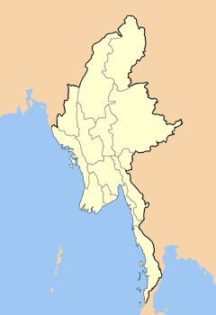
| ဖော်ပြချက် | Map outlining the states and divisions of Myanmar (formerly Burma). | ||
| ရက်စွဲ | |||
| ရင်းမြစ် | Own work on Adobe Photoshop | ||
| စာရေးသူ | User:Hintha | ||
| ခွင့်ပြုချက် (ဤဖိုင်ကို ပြန်လည်အသုံးပြုခြင်း) |
|
ဖိုင်မှတ်တမ်း
ဖိုင်ကို ယင်းနေ့စွဲ အတိုင်း မြင်နိုင်ရန် နေ့စွဲ/အချိန် တစ်ခုခုပေါ်တွင် ကလစ်နှိပ်ပါ။
| နေ့စွဲ/အချိန် | နမူနာပုံငယ် | မှတ်တမ်း ဒိုင်မန်းရှင်းများ | အသုံးပြုသူ | မှတ်ချက် | |
|---|---|---|---|---|---|
| ကာလပေါ် | ၂၀:၄၈၊ ၁၃ မေ ၂၀၀၈ | | ၂၄၀ × ၃၅၀ (၇ KB) | Mahahahaneapneap | Compressed |
| ၀၆:၂၆၊ ၁၄ ဖေဖော်ဝါရီ ၂၀၀၇ |  | ၂၄၀ × ၃၅၀ (၇ KB) | Hintha | {{Information |Description=Map outlining the states and divisions of Myanmar (formerly Burma). |Source=Own work on Adobe Photoshop |Date=2006-07-12 |Author=User:Hintha |Permission={{pd-self}} |other_versions= }} |
ဖိုင်သုံးစွဲမှု
ဤဖိုင်ကို အသုံးပြုထားသော စာမျက်နှာများမရှိပါ။
ဂလိုဘယ် ဖိုင်သုံးစွဲမှု
အောက်ပါ အခြားဝီကီများတွင် ဤဖိုင်ကို အသုံးပြုထားသည်-
- cv.wikipedia.org တွင် အသုံးပြုမှု
- de.wikipedia.org တွင် အသုံးပြုမှု
- en.wikipedia.org တွင် အသုံးပြုမှု
- fr.wikipedia.org တွင် အသုံးပြုမှု