
ဖိုင်:London Commuter Belt map no TTW.svg

Size of this PNG preview of this SVG file: ၈၀၀ × ၅၉၁ ပစ်ဇယ်. အခြား ပုံရိပ်ပြတ်သားမှု: ၃၂၀ × ၂၃၆ ပစ်ဇယ် | ၆၄၀ × ၄၇၃ ပစ်ဇယ် | ၁၀၂၄ × ၇၅၇ ပစ်ဇယ် | ၁၂၈၀ × ၉၄၆ ပစ်ဇယ် | ၂၅၆၀ × ၁၈၉၂ ပစ်ဇယ် | ၁၀၀၀ × ၇၃၉ ပစ်ဇယ်။
မူရင်းဖိုင် (SVG ဖိုင်, ၁၀၀၀ × ၇၃၉ pixels ကို အကြံပြုသည်, ဖိုင်အရွယ်အစား - ၂.၉၄ MB)
| ဤဖိုင်သည် Wikimedia Commons မှဖြစ်ပြီး အခြားပရောဂျက်များတွင် သုံးကောင်းသုံးလိမ့်မည်။ ယင်း၏ ဖိုင်အကြောင်းစာမျက်နှာ တွင် ဖော်ပြထားချက်ကို အောက်တွင် ပြထားသည်။ Commons သည် မူပိုင်ခွင့်လွတ်လပ်သော မီဒီယာဖိုင်များ သိုလှောင်ထားရာ နေရာ ဖြစ်သည်။ သင်လည်း ပါဝင်ကူညီနိုင်ပါသည်။ |
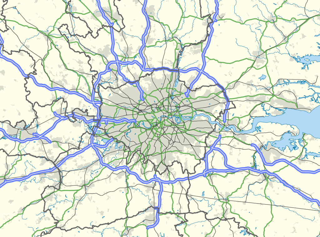
| ဖော်ပြချက် | Map of the London area, with the London Travel to Work Area highlighted in red. |
| ရက်စွဲ | |
| ရင်းမြစ် |
Office of National Statistics Geography
|
| စာရေးသူ | Nilfanion, created using Ordnance Survey data |
| ခွင့်ပြုချက် (ဤဖိုင်ကို ပြန်လည်အသုံးပြုခြင်း) |
ဤဖိုင်ကို Creative Commons Attribution-Share Alike 3.0 Unported လိုင်စင်ဖြင့် သတ်မှတ်ထားသည်။ မှတ်ယူနိုင်ခြင်း: Contains Ordnance Survey data © Crown copyright and database right
|
ဖိုင်မှတ်တမ်း
ဖိုင်ကို ယင်းနေ့စွဲ အတိုင်း မြင်နိုင်ရန် နေ့စွဲ/အချိန် တစ်ခုခုပေါ်တွင် ကလစ်နှိပ်ပါ။
| နေ့စွဲ/အချိန် | နမူနာပုံငယ် | မှတ်တမ်း ဒိုင်မန်းရှင်းများ | အသုံးပြုသူ | မှတ်ချက် | |
|---|---|---|---|---|---|
| ကာလပေါ် | ၂၂:၀၀၊ ၃၁ မတ် ၂၀၁၃ | | ၁၀၀၀ × ၇၃၉ (၂.၉၄ MB) | Remdabest | User created page with UploadWizard |
ဖိုင်သုံးစွဲမှု
ဤဖိုင်ကို အသုံးပြုထားသော စာမျက်နှာများမရှိပါ။
ဂလိုဘယ် ဖိုင်သုံးစွဲမှု
အောက်ပါ အခြားဝီကီများတွင် ဤဖိုင်ကို အသုံးပြုထားသည်-
- ar.wikipedia.org တွင် အသုံးပြုမှု
- en.wikipedia.org တွင် အသုံးပြုမှု
- Hertfordshire
- London
- Reading, Berkshire
- Slough
- Luton
- Dorking
- High Wycombe
- Crawley
- Leatherhead
- Chelmsford
- Aylesbury
- Southend-on-Sea
- Medway
- Sevenoaks
- London metropolitan area
- Farnborough/Aldershot built-up area
- Reading built-up area
- Greater London Built-up Area
- Luton/Dunstable urban area
- Template:London commuter belt
- Category:Greater London
- Greater London
- Borough of Slough
- fr.wikipedia.org တွင် အသုံးပြုမှု
- ko.wikipedia.org တွင် အသုံးပြုမှု
- no.wikipedia.org တွင် အသုံးပြုမှု
- pt.wikipedia.org တွင် အသုံးပြုမှု
- sv.wikipedia.org တွင် အသုံးပြုမှု
- ur.wikipedia.org တွင် အသုံးပြုမှု
- zh.wikipedia.org တွင် အသုံးပြုမှု