
ဖိုင်:Fife UK location map.svg

Size of this PNG preview of this SVG file: ၇၄၂ × ၆၀၀ ပစ်ဇယ်. အခြား ပုံရိပ်ပြတ်သားမှု: ၂၉၇ × ၂၄၀ ပစ်ဇယ် | ၅၉၄ × ၄၈၀ ပစ်ဇယ် | ၉၅၀ × ၇၆၈ ပစ်ဇယ် | ၁၂၆၇ × ၁၀၂၄ ပစ်ဇယ် | ၂၅၃၃ × ၂၀၄၈ ပစ်ဇယ် | ၁၄၂၅ × ၁၁၅၂ ပစ်ဇယ်။
မူရင်းဖိုင် (SVG ဖိုင်, ၁၄၂၅ × ၁၁၅၂ pixels ကို အကြံပြုသည်, ဖိုင်အရွယ်အစား - ၁.၆၁ MB)
| ဤဖိုင်သည် Wikimedia Commons မှဖြစ်ပြီး အခြားပရောဂျက်များတွင် သုံးကောင်းသုံးလိမ့်မည်။ ယင်း၏ ဖိုင်အကြောင်းစာမျက်နှာ တွင် ဖော်ပြထားချက်ကို အောက်တွင် ပြထားသည်။ Commons သည် မူပိုင်ခွင့်လွတ်လပ်သော မီဒီယာဖိုင်များ သိုလှောင်ထားရာ နေရာ ဖြစ်သည်။ သင်လည်း ပါဝင်ကူညီနိုင်ပါသည်။ |
| ဖော်ပြချက် |
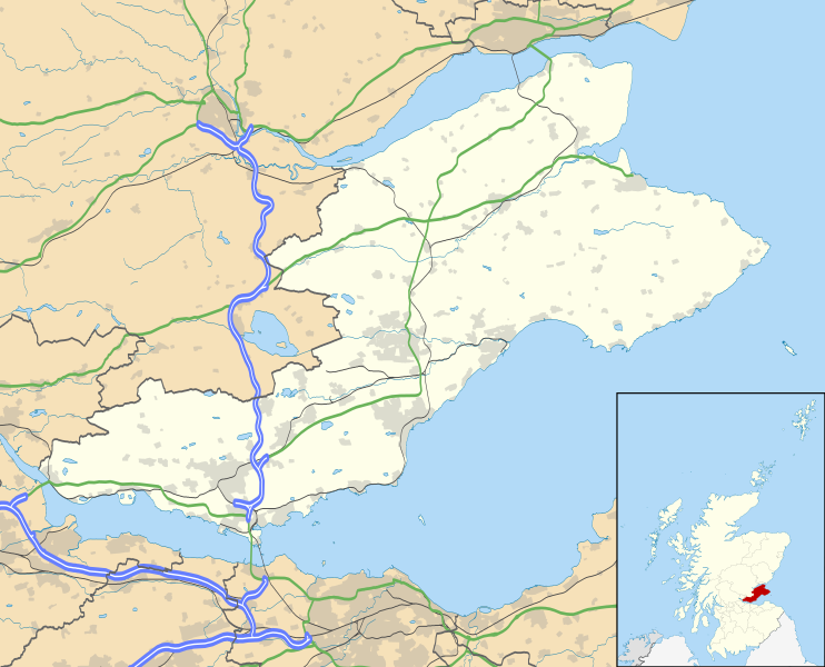
Blank map of Fife, UK with the following information shown:
Geographic limits:
|
| ရက်စွဲ | |
| ရင်းမြစ် |
|
| စာရေးသူ | Nilfanion, created using Ordnance Survey data |
| ခွင့်ပြုချက် (ဤဖိုင်ကို ပြန်လည်အသုံးပြုခြင်း) |
ဤဖိုင်ကို Creative Commons Attribution-Share Alike 3.0 Unported လိုင်စင်ဖြင့် သတ်မှတ်ထားသည်။ မှတ်ယူနိုင်ခြင်း: Contains Ordnance Survey data © Crown copyright and database right
|
| အခြား ဗားရှင်းများ | File:Fife UK blank map.svg - Blank map |
ဖိုင်မှတ်တမ်း
ဖိုင်ကို ယင်းနေ့စွဲ အတိုင်း မြင်နိုင်ရန် နေ့စွဲ/အချိန် တစ်ခုခုပေါ်တွင် ကလစ်နှိပ်ပါ။
| နေ့စွဲ/အချိန် | နမူနာပုံငယ် | မှတ်တမ်း ဒိုင်မန်းရှင်းများ | အသုံးပြုသူ | မှတ်ချက် | |
|---|---|---|---|---|---|
| ကာလပေါ် | ၂၀:၁၅၊ ၂၆ စက်တင်ဘာ ၂၀၁၀ | | ၁၄၂၅ × ၁၁၅၂ (၁.၆၁ MB) | Nilfanion | {{Information |Description=Blank map of Fife, UK with the following information shown: *Administrative borders *Coastline, lakes and rivers *Roads and railways *Urban areas Equirectangular map projection on WGS 84 datum, with N/S stretched 17 |
ဖိုင်သုံးစွဲမှု
ဤဖိုင်ကို အသုံးပြုထားသော စာမျက်နှာများမရှိပါ။
ဂလိုဘယ် ဖိုင်သုံးစွဲမှု
အောက်ပါ အခြားဝီကီများတွင် ဤဖိုင်ကို အသုံးပြုထားသည်-
- ar.wikipedia.org တွင် အသုံးပြုမှု
- arz.wikipedia.org တွင် အသုံးပြုမှု
- bg.wikipedia.org တွင် အသုံးပြုမှု
- ca.wikipedia.org တွင် အသုံးပြုမှု
- ceb.wikipedia.org တွင် အသုံးပြုမှု
- cy.wikipedia.org တွင် အသုံးပြုမှု
- de.wikipedia.org တွင် အသုံးပြုမှု
- el.wikipedia.org တွင် အသုံးပြုမှု
- en.wikipedia.org တွင် အသုံးပြုမှု
- Aberdour
- Kinglassie
- Fife
- List of monastic houses in Scotland
- Newport-on-Tay
- North Queensferry
- Dalgety Bay
- Dunfermline
- St Andrews
- Kirkcaldy
- Cupar
- Crail
- Kinghorn
- Culross
- Inverkeithing
- Burntisland
- Leuchars Station
- Cowdenbeath
- Methil
- Rosyth
- Wormit
- Glenrothes
- Limekilns
- East End Park
- Ceres, Fife
- Pittenweem
- Dysart, Fife
- Auchtermuchty
- Leuchars
ဤဖိုင်ကို အခြားနေရာများတွင် အသုံးပြုထားမှုများအား ကြည့်ရှုရန်။