
ဖိုင်:China Hubei location map.svg

မူရင်းဖိုင် (SVG ဖိုင်, ၁၁၆၂ × ၇၇၃ pixels ကို အကြံပြုသည်, ဖိုင်အရွယ်အစား - ၂၆၆ KB)
| ဤဖိုင်သည် Wikimedia Commons မှဖြစ်ပြီး အခြားပရောဂျက်များတွင် သုံးကောင်းသုံးလိမ့်မည်။ ယင်း၏ ဖိုင်အကြောင်းစာမျက်နှာ တွင် ဖော်ပြထားချက်ကို အောက်တွင် ပြထားသည်။ Commons သည် မူပိုင်ခွင့်လွတ်လပ်သော မီဒီယာဖိုင်များ သိုလှောင်ထားရာ နေရာ ဖြစ်သည်။ သင်လည်း ပါဝင်ကူညီနိုင်ပါသည်။ |
အကျဉ်းချုပ်
| ဖော်ပြချက် |
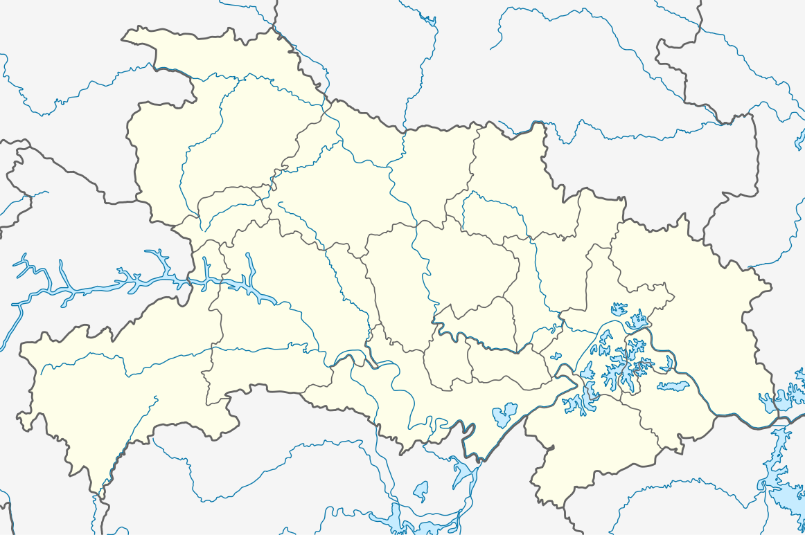
Quadratische Plattkarte, N-S-Streckung 116 %. Geographische Begrenzung der Karte:
Equirectangular projection, N/S stretching 116 %. Geographic limits of the map:
|
|
| ရက်စွဲ | ||
| ရင်းမြစ် |
ကိုယ်ပိုင်ဖန်တီးမှု, using
|
|
| စာရေးသူ | NordNordWest | |
| ခွင့်ပြုချက် (ဤဖိုင်ကို ပြန်လည်အသုံးပြုခြင်း) |
ဤဖိုင်သည် Creative Commons Attribution-Share Alike 3.0 ဂျာမနီ လိုင်စင်အောက်တွင် လိုင်စင်သတ်မှတ်ထားပါသည်။
 ဤဖိုင်ကို Creative Commons Attribution-Share Alike 3.0 Unported လိုင်စင်ဖြင့် သတ်မှတ်ထားသည်။
|


|
This map has been made or improved in the German Kartenwerkstatt (Map Lab). You can propose maps to improve as well.
|
ဖိုင်မှတ်တမ်း
ဖိုင်ကို ယင်းနေ့စွဲ အတိုင်း မြင်နိုင်ရန် နေ့စွဲ/အချိန် တစ်ခုခုပေါ်တွင် ကလစ်နှိပ်ပါ။
| နေ့စွဲ/အချိန် | နမူနာပုံငယ် | မှတ်တမ်း ဒိုင်မန်းရှင်းများ | အသုံးပြုသူ | မှတ်ချက် | |
|---|---|---|---|---|---|
| ကာလပေါ် | ၁၂:၀၂၊ ၁၇ ဩဂုတ် ၂၀၁၁ | | ၁၁၆၂ × ၇၇၃ (၂၆၆ KB) | NordNordWest | =={{int:filedesc}}== {{Information |Description= {{de|Positionskarte von Hubei, Volksrepublik China}} Quadratische Plattkarte, N-S-Streckung 116 %. Geographische Begrenzung der Karte: * N: 33.5° N * S: 28.8° N * |
ဖိုင်သုံးစွဲမှု
အောက်ပါ 2 စာမျက်နှာများ သည် ဤဖိုင်ကို အသုံးပြုထားသည်:
ဂလိုဘယ် ဖိုင်သုံးစွဲမှု
အောက်ပါ အခြားဝီကီများတွင် ဤဖိုင်ကို အသုံးပြုထားသည်-
- am.wikipedia.org တွင် အသုံးပြုမှု
- ar.wikipedia.org တွင် အသုံးပြုမှု
- ba.wikipedia.org တွင် အသုံးပြုမှု
- bg.wikipedia.org တွင် အသုံးပြုမှု
- bh.wikipedia.org တွင် အသုံးပြုမှု
- bn.wikipedia.org တွင် အသုံးပြုမှု
- ceb.wikipedia.org တွင် အသုံးပြုမှု
- de.wikipedia.org တွင် အသုံးပြုမှု
- Drei-Schluchten-Talsperre
- Wudang Shan
- Minsheng Bank Building
- Wuhan-Sports-Center-Stadion
- Dalongtan-Talsperre
- Wikipedia:Kartenwerkstatt/Positionskarten/Asien
- Danjiangkou-Talsperre
- Dabie Shan
- Fernsehturm Guishan
- Daba Shan
- Jiangpinghe-Talsperre
- Siduhe-Brücke
- Vorlage:Positionskarte China Hubei
- Wu Shan
- Wuhan Greenland Center
- Wuhan Center
- Flughafen Wuhan
- Feinkost-Nassmarkt in Wuhan
- Wasserpark Maya Beach Wuhan
- en.wikipedia.org တွင် အသုံးပြုမှု
ဤဖိုင်ကို အခြားနေရာများတွင် အသုံးပြုထားမှုများအား ကြည့်ရှုရန်။