
ဖိုင်:Pakistan location map.svg

Size of this PNG preview of this SVG file: ၇၅၀ × ၅၉၉ ပစ်ဇယ်. အခြား ပုံရိပ်ပြတ်သားမှု: ၃၀၀ × ၂၄၀ ပစ်ဇယ် | ၆၀၁ × ၄၈၀ ပစ်ဇယ် | ၉၆၁ × ၇၆၈ ပစ်ဇယ် | ၁၂၈၀ × ၁၀၂၃ ပစ်ဇယ် | ၂၅၆၀ × ၂၀၄၆ ပစ်ဇယ် | ၂၃၆၅ × ၁၈၉၀ ပစ်ဇယ်။
မူရင်းဖိုင် (SVG ဖိုင်, ၂၃၆၅ × ၁၈၉၀ pixels ကို အကြံပြုသည်, ဖိုင်အရွယ်အစား - ၄၆၁ KB)
| ဤဖိုင်သည် Wikimedia Commons မှဖြစ်ပြီး အခြားပရောဂျက်များတွင် သုံးကောင်းသုံးလိမ့်မည်။ ယင်း၏ ဖိုင်အကြောင်းစာမျက်နှာ တွင် ဖော်ပြထားချက်ကို အောက်တွင် ပြထားသည်။ Commons သည် မူပိုင်ခွင့်လွတ်လပ်သော မီဒီယာဖိုင်များ သိုလှောင်ထားရာ နေရာ ဖြစ်သည်။ သင်လည်း ပါဝင်ကူညီနိုင်ပါသည်။ |
အကျဉ်းချုပ်
| ဖော်ပြချက် |
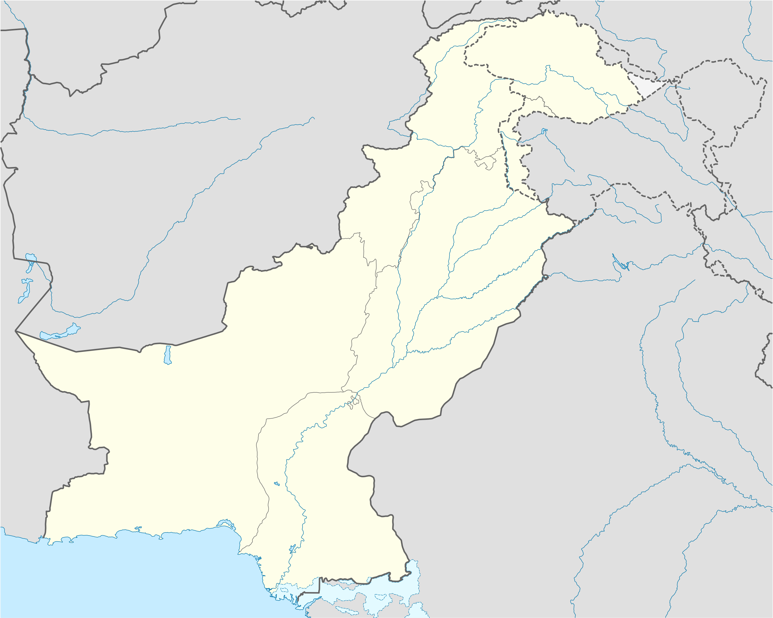
Deutsch: Positionskarte von Pakistan
Quadratische Plattkarte, N-S-Streckung 115 %. Geographische Begrenzung der Karte:
English: Location map of Pakistan
Equirectangular projection, N/S stretching 115 %. Geographic limits of the map:
|
||
| ရက်စွဲ | |||
| ရင်းမြစ် |
own work, using
|
||
| စာရေးသူ | NordNordWest | ||
| ခွင့်ပြုချက် (ဤဖိုင်ကို ပြန်လည်အသုံးပြုခြင်း) |
ကျွန်ုပ်၊ ဤလုပ်ဆောင်ချက်၏ မူပိုင်ခွင့်ပိုင်ရှင်အနေဖြင့် ဤနေရာမှ အောက်ပါလိုင်စင်များအောက်တွင် ထုတ်လွှင့်ပါသည်:
ဤဖိုင်ကို Creative Commons Attribution-Share Alike 3.0 Unported လိုင်စင်ဖြင့် သတ်မှတ်ထားသည်။
သင်အလိုရှိရာ လိုင်စင်ကို ရွေးချယ်နိုင်ပါသည်။ |
||
| အခြား ဗားရှင်းများ |
|


|
This map has been made or improved in the German Kartenwerkstatt (Map Lab). You can propose maps to improve as well.
|
ဖိုင်မှတ်တမ်း
ဖိုင်ကို ယင်းနေ့စွဲ အတိုင်း မြင်နိုင်ရန် နေ့စွဲ/အချိန် တစ်ခုခုပေါ်တွင် ကလစ်နှိပ်ပါ။
| နေ့စွဲ/အချိန် | နမူနာပုံငယ် | မှတ်တမ်း ဒိုင်မန်းရှင်းများ | အသုံးပြုသူ | မှတ်ချက် | |
|---|---|---|---|---|---|
| ကာလပေါ် | ၁၆:၀၀၊ ၅ နိုဝင်ဘာ ၂၀၂၀ | | ၂၃၆၅ × ၁၈၉၀ (၄၆၁ KB) | NordNordWest | small correction |
| ၀၈:၄၂၊ ၁ ဇွန် ၂၀၂၀ |  | ၂၃၆၅ × ၁၈၉၀ (၄၅၉ KB) | NordNordWest | c | |
| ၁၂:၀၆၊ ၉ ဇွန် ၂၀၁၈ |  | ၂၃၆၅ × ၁၈၉၀ (၇၇၁ KB) | Mar4d | The map is correct as it shows the de facto position | |
| ၀၄:၃၄၊ ၂၄ ဧပြီ ၂၀၁၇ |  | ၂၃၆၅ × ၁၈၉၀ (၄၆၂ KB) | फ़िलप्रो | Siachen Glacier under Indian control | |
| ၁၃:၃၆၊ ၃၁ အောက်တိုဘာ ၂၀၀၈ |  | ၂၃၆၅ × ၁၈၉၀ (၇၇၁ KB) | NordNordWest | Kashmir completely | |
| ၁၈:၃၄၊ ၂၈ အောက်တိုဘာ ၂၀၀၈ |  | ၂၁၀၅ × ၁၈၉၀ (၆၅၃ KB) | NordNordWest | ||
| ၂၁:၂၀၊ ၂၇ စက်တင်ဘာ ၂၀၀၈ |  | ၂၁၀၅ × ၁၈၉၀ (၆၅၀ KB) | NordNordWest | {{Information |Description= {{de|Positionskarte von Pakistan}} Quadratische Plattkarte, N-S-Streckung 115 %. Geographische Begrenzung der Karte: * N: 37.3° N * S: 23.4° N * W: 60.5° O * O: 78.3° O {{en|Location map of [[:en:Pakistan|P |
ဖိုင်သုံးစွဲမှု
အောက်ပါ 2 စာမျက်နှာများ သည် ဤဖိုင်ကို အသုံးပြုထားသည်:
ဂလိုဘယ် ဖိုင်သုံးစွဲမှု
အောက်ပါ အခြားဝီကီများတွင် ဤဖိုင်ကို အသုံးပြုထားသည်-
- af.wikipedia.org တွင် အသုံးပြုမှု
- als.wikipedia.org တွင် အသုံးပြုမှု
- ar.wikipedia.org တွင် အသုံးပြုမှု
- قالب:خريطة مواقع باكستان
- موجة الحر الباكستانية 2015
- قالب:خريطة مواقع التراث العالمي في باكستان
- بوابة:التراث العالمي/خريطة مختارة
- وحدة:Location map/data/Pakistan
- وحدة:Location map/data/Pakistan/شرح
- تفجير باراتشينار 2017
- تفجيرات باكستان (يونيو 2017)
- قائمة العواصم في باكستان
- تفجير بيشاور 2018
- مذبحة غلغت 1988
- ast.wikipedia.org တွင် အသုံးပြုမှု
- Islamabad
- Karachi
- Lahore
- K2
- Nanga Parbat
- Gasherbrum I
- Broad Peak
- Gasherbrum II
- Pasu de Khunjerab
- Chitral
- Badshahi Masjid
- Faisalabad
- Gujranwala
- Sialkot
- Módulu:Mapa de llocalización/datos/Paquistán
- Módulu:Mapa de llocalización/datos/Paquistán/usu
- Universidá Aga Khan
- Autoridá d'aviación civil de Paquistán
- Puertu Qasim
- Puertu de Gwadar
- Puertu de Karachi
- Sha Bandar
- azb.wikipedia.org တွင် အသုံးပြုမှု
ဤဖိုင်ကို အခြားနေရာများတွင် အသုံးပြုထားမှုများအား ကြည့်ရှုရန်။