
ဖိုင်:Morocco location map.svg

Size of this PNG preview of this SVG file: ၇၃၇ × ၆၀၀ ပစ်ဇယ်. အခြား ပုံရိပ်ပြတ်သားမှု: ၂၉၅ × ၂၄၀ ပစ်ဇယ် | ၅၉၀ × ၄၈၀ ပစ်ဇယ် | ၉၄၄ × ၇၆၈ ပစ်ဇယ် | ၁၂၅၉ × ၁၀၂၄ ပစ်ဇယ် | ၂၅၁၇ × ၂၀၄၈ ပစ်ဇယ် | ၁၂၂၃ × ၉၉၅ ပစ်ဇယ်။
မူရင်းဖိုင် (SVG ဖိုင်, ၁၂၂၃ × ၉၉၅ pixels ကို အကြံပြုသည်, ဖိုင်အရွယ်အစား - ၂၇၈ KB)
| ဤဖိုင်သည် Wikimedia Commons မှဖြစ်ပြီး အခြားပရောဂျက်များတွင် သုံးကောင်းသုံးလိမ့်မည်။ ယင်း၏ ဖိုင်အကြောင်းစာမျက်နှာ တွင် ဖော်ပြထားချက်ကို အောက်တွင် ပြထားသည်။ Commons သည် မူပိုင်ခွင့်လွတ်လပ်သော မီဒီယာဖိုင်များ သိုလှောင်ထားရာ နေရာ ဖြစ်သည်။ သင်လည်း ပါဝင်ကူညီနိုင်ပါသည်။ |
အကျဉ်းချုပ်
| ဖော်ပြချက် |
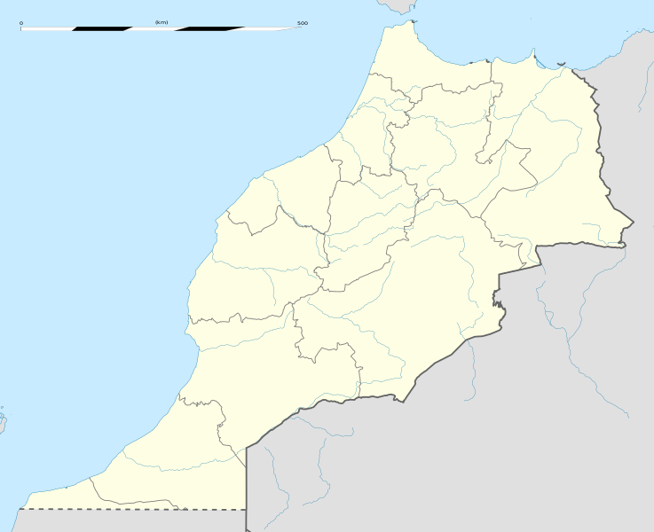
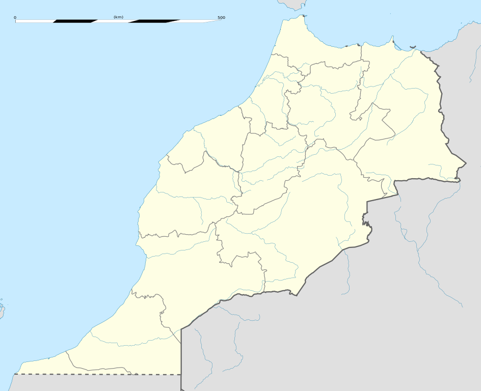
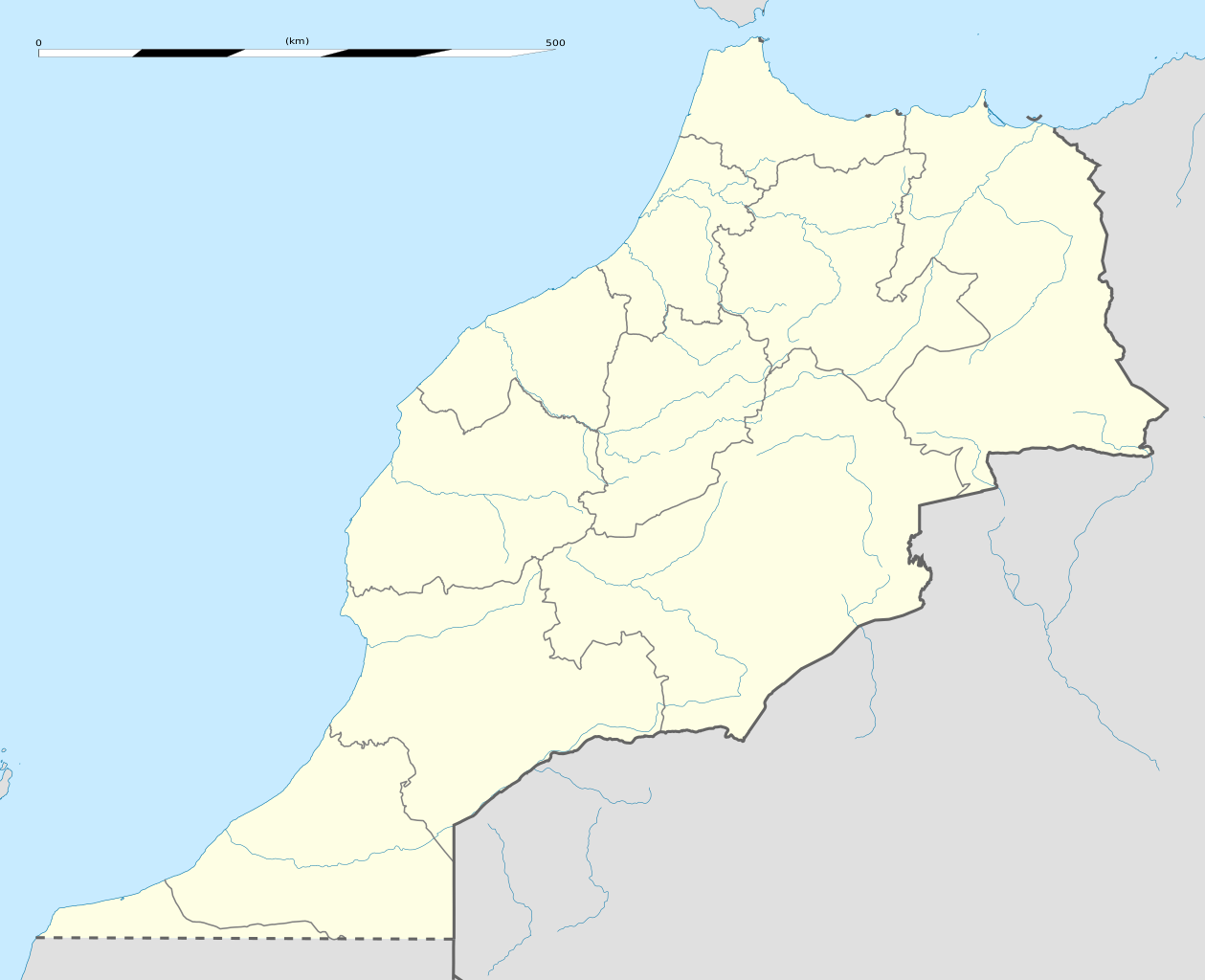
English: Blank administrative map of Morocco, for geo-location purposes.
Français : Carte administrative vierge du Maroc, destinée à la géolocalisation. Scale: 1:4,000,000 (precision: 1,000 m)
Geographic limits of the map:
|
||
| ရက်စွဲ | |||
| ရင်းမြစ် |
ကိုယ်ပိုင်ဖန်တီးမှု
|
||
| စာရေးသူ | Eric Gaba (Sting - fr:Sting) | ||
| ခွင့်ပြုချက် (ဤဖိုင်ကို ပြန်လည်အသုံးပြုခြင်း) |
|
||
| အခြား ဗားရှင်းများ |
Derivative works of this file: Marruecos1909.PNG
|

| Camera location | | View this and other nearby images on: OpenStreetMap |
|---|
လိုင်စင်သတ်မှတ်ခြင်း
ကျွန်ုပ်၊ ဤလုပ်ဆောင်ချက်၏ မူပိုင်ခွင့်ပိုင်ရှင်အနေဖြင့် ဤနေရာမှ အောက်ပါလိုင်စင်များအောက်တွင် ထုတ်လွှင့်ပါသည်:
ဤဖိုင်ကို Creative Commons Attribution-Share Alike 3.0 Unported လိုင်စင်ဖြင့် သတ်မှတ်ထားသည်။
- သင်သည် လွတ်လပ်စွာ:
- မျှဝေရန် – ဖန်တီးမှုကို ကူးယူရန်၊ ဖြန့်ဖြူးရန်နှင့် ထုတ်လွှင့်ရန်
- ပြန်ရောနှောရန် – ဖန်တီးမှုကို ပြင်ဆင်ညှိနှိုင်းရန်
- အောက်ပါ အခြေအနေများတွင်:
- မှတ်ယူနိုင်ခြင်း – ပြောင်းလဲမှုများ ပြုလုပ်ခဲ့ပါက ဖန်တီးသူ သို့မဟုတ် လိုင်စင်ရှိသူမှ သတ်မှတ်သော အမျိုးအစားကို လိုက်နာရမည် (ဆိုလိုသည်မှာ သင့်အား သို့မဟုတ် သင့်ဖန်တီးမှုတွင် အသုံးပြုခြင်းအား ထောက်ခံချက်ပေးသည်ဟု မဆိုလိုပါ)။
- ထပ်တူမျှဝေ – ဤဖန်တီးမှုအား ပြင်ဆင်ခြင်း၊ ပြောင်းလဲခြင်း သို့မဟုတ် ထပ်ဆင့် ဖန်တီးခြင်း ပြုလုပ်ပါက ရရှိလာသော ဖန်တီးမှုကို ဤဖန်တီးမှုနှင့် သို့မဟုတ် ဆင်တူသော လိုင်စင်ဖြင့်သာ ဖြန့်ချိသင့်သည်။

|
ဤစာတမ်းကို GNU Free Documentation License, ဗားရှင်း ၁.၂ သို့မဟုတ် Free Software Foundation မှ ဖြန့်ချီထားသော မည်သည့်ယခင်ဗားရှင်းတစ်ခုခုအောက်တွင် Invariant Sections, Front-Cover Texts နှင့် Back-Cover Texts များမပါဝင်ဘဲ ကူးယူခြင်း၊ ဖြန့်ချီခြင်း နှင့်/သို့မဟုတ် ပြင်ဆင်ပြောင်းလဲနိုင်ရန် ခွင့်ပြုသည်။ လိုင်စင်မူပွားကို GNU Free Documentation License ခေါင်းစဉ်အောက်တွင် ထည့်သွင်းထားသည်။ |
သင်အလိုရှိရာ လိုင်စင်ကို ရွေးချယ်နိုင်ပါသည်။
ဖိုင်မှတ်တမ်း
ဖိုင်ကို ယင်းနေ့စွဲ အတိုင်း မြင်နိုင်ရန် နေ့စွဲ/အချိန် တစ်ခုခုပေါ်တွင် ကလစ်နှိပ်ပါ။
| နေ့စွဲ/အချိန် | နမူနာပုံငယ် | မှတ်တမ်း ဒိုင်မန်းရှင်းများ | အသုံးပြုသူ | မှတ်ချက် | |
|---|---|---|---|---|---|
| ကာလပေါ် | ၀၂:၀၄၊ ၁၄ ဇန်နဝါရီ ၂၀၂၁ | | ၁၂၂၃ × ၉၉၅ (၂၇၈ KB) | Rais Namiq | Reverted to version as of 20:57, 27 December 2016 (UTC) |
| ၀၁:၅၈၊ ၁၄ ဇန်နဝါရီ ၂၀၂၁ |  | ၃၀၆၆ × ၃၁၄၆ (၁၇ KB) | Rais Namiq | Including Western Sahara | |
| ၂၀:၅၇၊ ၂၇ ဒီဇင်ဘာ ၂၀၁၆ |  | ၁၂၂၃ × ၉၉၅ (၂၇၈ KB) | Gajmar | 2015 regions (OSM data) | |
| ၂၀:၃၃၊ ၂၁ နိုဝင်ဘာ ၂၀၀၉ |  | ၁၂၂၃ × ၉၉၅ (၂၃၇ KB) | Sting | Putting back the southern dotted boundary (regarding Western Sahara's location map) | |
| ၀၁:၂၂၊ ၂၁ နိုဝင်ဘာ ၂၀၀၉ |  | ၁၂၂၃ × ၉၉၅ (၂၃၇ KB) | Sting | Several little corrections | |
| ၀၀:၁၁၊ ၂၁ နိုဝင်ဘာ ၂၀၀၉ |  | ၁၂၂၃ × ၉၉၅ (၂၃၆ KB) | Sting | == {{int:filedesc}} == {{Location|31|46|30|N|7|04|30|W|scale:5000000}} <br/> {{Information |Description={{en|Blank administrative map of Morocco, for geo-location purposes.}} {{fr|Carte administrative vierge du Maroc, destin� |
ဖိုင်သုံးစွဲမှု
အောက်ပါ 2 စာမျက်နှာများ သည် ဤဖိုင်ကို အသုံးပြုထားသည်:
ဂလိုဘယ် ဖိုင်သုံးစွဲမှု
အောက်ပါ အခြားဝီကီများတွင် ဤဖိုင်ကို အသုံးပြုထားသည်-
- af.wikipedia.org တွင် အသုံးပြုမှု
- am.wikipedia.org တွင် အသုံးပြုမှု
- an.wikipedia.org တွင် အသုံးပြုမှု
- ar.wikipedia.org တွင် အသုံးပြုမှု
- كأس الأمم الإفريقية 1988
- تيفلت
- قالب:خريطة مواقع المغرب
- سلا الجديدة
- واد القصب
- بطولة إفريقيا تحت 23 سنة لكرة القدم 2011
- قاعدة القنيطرة الجوية
- كأس العالم للأندية 2013
- بطولة إفريقيا تحت 17 سنة لكرة القدم 2013
- تلات نيعقوب
- ويكيبيديا:الميدان/تقنية/أرشيف/2013/يناير
- كأس العالم للأندية 2014
- قائمة مواقع التراث العالمي في المغرب
- قالب:خريطة مواقع التراث العالمي في المغرب
- بوابة:التراث العالمي/خريطة مختارة
- ويكيبيديا:الميدان/منوعات/أرشيف/2016/مارس
- مستخدم:Soufiane Izelgue/ملعب
- مطار سيدي إيفني
- بطولة أمم إفريقيا للمحليين 2018
- الترشيح المغربي لكأس العالم 2026
- كأس الأمم الإفريقية 2025
- كأس العالم للأندية 2022
- المدينة القديمة لتارودانت
- المعهد العالي للقضاء (المغرب)
- الدوري المغربي لكرة القدم 2020–21
- كأس الأمم الإفريقية تحت 23 سنة 2023
- الدوري المغربي لكرة القدم 2021–22
- الترشيح الإسباني البرتغالي المغربي لكأس العالم 2030
- الدوري المغربي لكرة القدم 2023–24
- ast.wikipedia.org တွင် အသုံးပြုမှု
ဤဖိုင်ကို အခြားနေရာများတွင် အသုံးပြုထားမှုများအား ကြည့်ရှုရန်။