
ဖိုင်:Japan bluemarble location map with side map of the Ryukyu Islands.jpg
ဤနမူနာ၏ အရွယ်အစား - ၆၆၄ × ၆၀၀ ပစ်ဇယ်။ အခြား ပုံရိပ်ပြတ်သားမှု: ၂၆၆ × ၂၄၀ ပစ်ဇယ် | ၅၃၁ × ၄၈၀ ပစ်ဇယ် | ၈၅၀ × ၇၆၈ ပစ်ဇယ် | ၁၁၃၃ × ၁၀၂၄ ပစ်ဇယ် | ၂၄၉၇ × ၂၂၅၆ ပစ်ဇယ်။
မူရင်းဖိုင် (၂၄၉၇ × ၂၂၅၆ pixels, ဖိုင်အရွယ်အစား - ၁.၃၈ MB, MIME အမျိုးအစား image/jpeg)
| ဤဖိုင်သည် Wikimedia Commons မှဖြစ်ပြီး အခြားပရောဂျက်များတွင် သုံးကောင်းသုံးလိမ့်မည်။ ယင်း၏ ဖိုင်အကြောင်းစာမျက်နှာ တွင် ဖော်ပြထားချက်ကို အောက်တွင် ပြထားသည်။ Commons သည် မူပိုင်ခွင့်လွတ်လပ်သော မီဒီယာဖိုင်များ သိုလှောင်ထားရာ နေရာ ဖြစ်သည်။ သင်လည်း ပါဝင်ကူညီနိုင်ပါသည်။ |
အကျဉ်းချုပ်
| ဖော်ပြချက် |
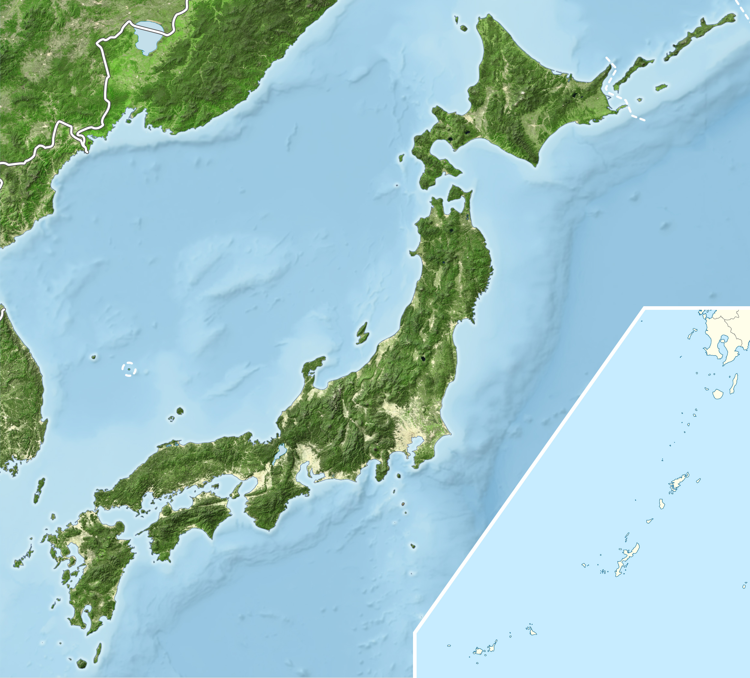
English: Blue Marble Location map of Japan
Equirectangular projection. Geographic limits to locate objects in the main map with the main islands:
Geographic limits to locate objects in the side map with the Ryukyu Islands:
|
||
| ရက်စွဲ | |||
| ရင်းမြစ် |
|
||
| စာရေးသူ | Alexrk2 | ||
| ခွင့်ပြုချက် (ဤဖိုင်ကို ပြန်လည်အသုံးပြုခြင်း) |
ဤဖိုင်ကို Creative Commons Attribution-Share Alike 3.0 Unported လိုင်စင်ဖြင့် သတ်မှတ်ထားသည်။
|
||
| အခြား ဗားရှင်းများ |
|


ဖိုင်မှတ်တမ်း
ဖိုင်ကို ယင်းနေ့စွဲ အတိုင်း မြင်နိုင်ရန် နေ့စွဲ/အချိန် တစ်ခုခုပေါ်တွင် ကလစ်နှိပ်ပါ။
| နေ့စွဲ/အချိန် | နမူနာပုံငယ် | မှတ်တမ်း ဒိုင်မန်းရှင်းများ | အသုံးပြုသူ | မှတ်ချက် | |
|---|---|---|---|---|---|
| ကာလပေါ် | ၁၉:၅၅၊ ၂၂ မတ် ၂၀၁၁ | | ၂၄၉၇ × ၂၂၅၆ (၁.၃၈ MB) | Alexrk2 | RGB |
| ၁၉:၀၇၊ ၂၂ မတ် ၂၀၁၁ |  | ၂၄၉၇ × ၂၂၅၆ (၈၇၈ KB) | Chumwa | RGB mode | |
| ၂၁:၅၇၊ ၂၁ မတ် ၂၀၁၁ |  | ၂၄၉၇ × ၂၂၅၆ (၁.၈၈ MB) | Alexrk2 | jpg quality | |
| ၂၁:၀၅၊ ၂၁ မတ် ၂၀၁၁ |  | ၂၄၉၇ × ၂၂၅၆ (၁.၈၂ MB) | Alexrk2 | == {{int:filedesc}} == {{Information |Description= {{en|Blue Marble Location map of Japan Equirectangular projection. Geographic limits to locate objects in the main map with the main islands: * N: 45°51'37" N (45.86°N) * S: 30°01'13" N |
ဖိုင်သုံးစွဲမှု
အောက်ပါ စာမျက်နှာ သည် ဤဖိုင်ကို အသုံးပြုထားသည်:
ဂလိုဘယ် ဖိုင်သုံးစွဲမှု
အောက်ပါ အခြားဝီကီများတွင် ဤဖိုင်ကို အသုံးပြုထားသည်-
- ace.wikipedia.org တွင် အသုံးပြုမှု
- ar.wikipedia.org တွင် အသုံးပြုမှု
- arz.wikipedia.org တွင် အသုံးပြုမှု
- ast.wikipedia.org တွင် အသုံးပြုမှု
- as.wikipedia.org တွင် အသုံးပြုမှု
- azb.wikipedia.org တွင် အသုံးပြုမှု
- ban.wikipedia.org တွင် အသုံးပြုမှု
- bcl.wikipedia.org တွင် အသုံးပြုမှု
- bh.wikipedia.org တွင် အသုံးပြုမှု
- bn.wikipedia.org တွင် အသုံးပြုမှု
- br.wikipedia.org တွင် အသုံးပြုမှု
- bs.wikipedia.org တွင် အသုံးပြုမှု
- ca.wikipedia.org တွင် အသုံးပြုမှု
- ceb.wikipedia.org တွင် အသုံးပြုမှု
- ckb.wikipedia.org တွင် အသုံးပြုမှု
- cs.wikipedia.org တွင် အသုံးပြုမှု
- da.wikipedia.org တွင် အသုံးပြုမှု
- de.wikipedia.org တွင် အသုံးပြုမှု
- diq.wikipedia.org တွင် အသုံးပြုမှု
- dty.wikipedia.org တွင် အသုံးပြုမှု
ဤဖိုင်ကို အခြားနေရာများတွင် အသုံးပြုထားမှုများအား ကြည့်ရှုရန်။