
ဖိုင်:Iwate-ken géolocalisation relief.svg

Size of this PNG preview of this SVG file: ၃၆၁ × ၅၉၉ ပစ်ဇယ်. အခြား ပုံရိပ်ပြတ်သားမှု: ၁၄၅ × ၂၄၀ ပစ်ဇယ် | ၂၈၉ × ၄၈၀ ပစ်ဇယ် | ၄၆၃ × ၇၆၈ ပစ်ဇယ် | ၆၁၇ × ၁၀၂၄ ပစ်ဇယ် | ၁၂၃၅ × ၂၀၄၈ ပစ်ဇယ် | ၁၇၂၀ × ၂၈၅၂ ပစ်ဇယ်။
မူရင်းဖိုင် (SVG ဖိုင်, ၁၇၂၀ × ၂၈၅၂ pixels ကို အကြံပြုသည်, ဖိုင်အရွယ်အစား - ၃.၃၁ MB)
| ဤဖိုင်သည် Wikimedia Commons မှဖြစ်ပြီး အခြားပရောဂျက်များတွင် သုံးကောင်းသုံးလိမ့်မည်။ ယင်း၏ ဖိုင်အကြောင်းစာမျက်နှာ တွင် ဖော်ပြထားချက်ကို အောက်တွင် ပြထားသည်။ Commons သည် မူပိုင်ခွင့်လွတ်လပ်သော မီဒီယာဖိုင်များ သိုလှောင်ထားရာ နေရာ ဖြစ်သည်။ သင်လည်း ပါဝင်ကူညီနိုင်ပါသည်။ |
အကျဉ်းချုပ်
| Camera location | | View this and other nearby images on: OpenStreetMap |
|---|
| ဖော်ပြချက် |
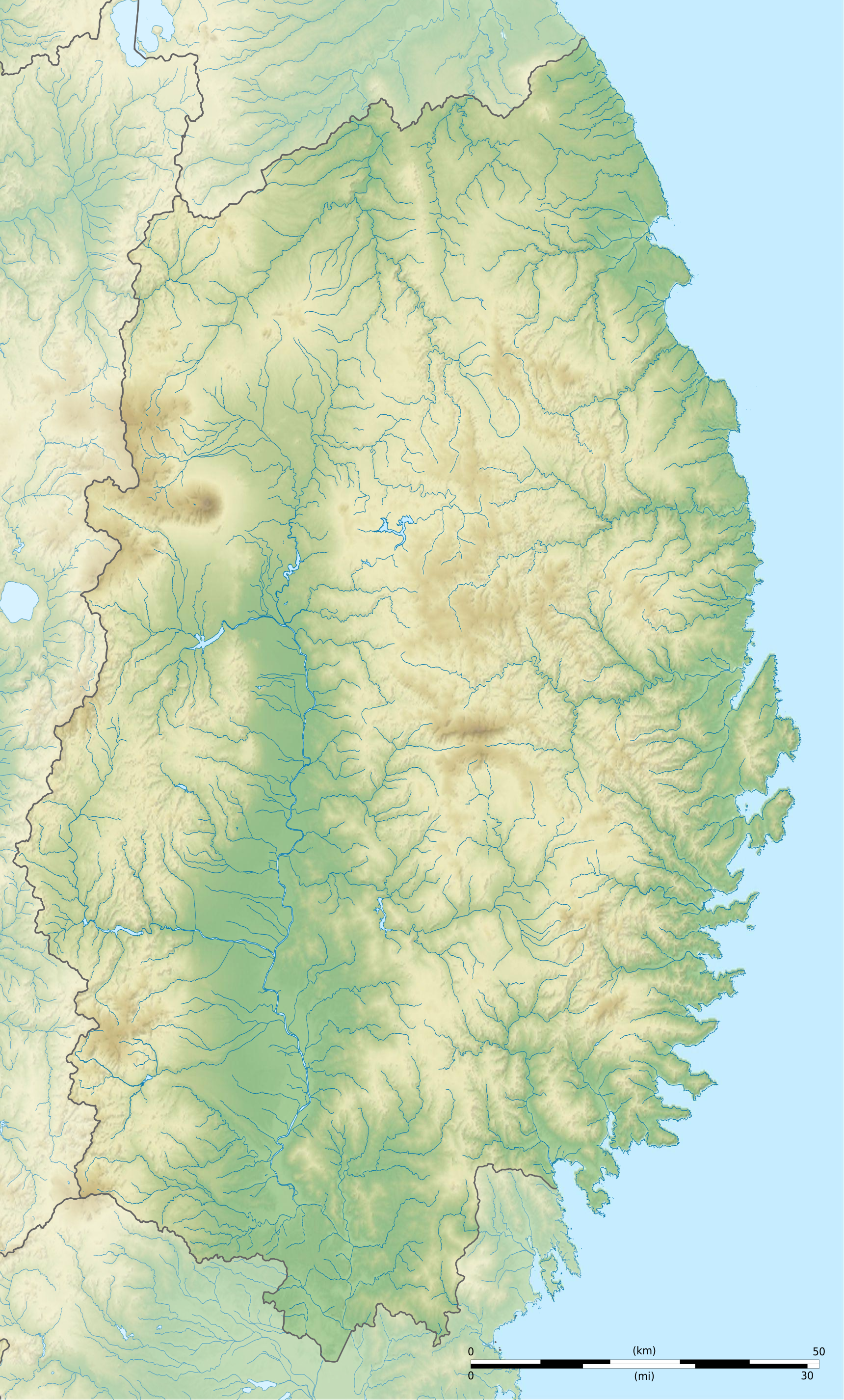
Français : Carte topographique vierge de la Préfecture d'Iwate, au Japon, destinée à la géolocalisation.
Deutsch: Topographische Karte der Präfektur Iwate.
English: Topographic blank map of the Iwate Prefecture, for geolocalisation purpose.
Español: Mapa topográfico de la Prefectura de Iwate.
Italiano: Mappa topografica della Prefettura di Iwate.
日本語: 岩手県の地図.
Português: Carta topográfica de la província de Iwate.
|
||
| ရက်စွဲ | (UTC) | ||
| ရင်းမြစ် |
Création personnelle ;
|
||
| စာရေးသူ | © Bourrichon (talk) - fr:Bourrichon | ||
| ခွင့်ပြုချက် (ဤဖိုင်ကို ပြန်လည်အသုံးပြုခြင်း) |
|
||
| အခြား ဗားရှင်းများ | File:Iwate-ken géolocalisation.svg |

|
This SVG file contains embedded text that can be translated into your language, using any capable SVG editor, text editor or the SVG Translate tool. For more information see: About translating SVG files. |
This W3C-unspecified vector image was created with Inkscape .
လိုင်စင်သတ်မှတ်ခြင်း
ကျွန်ုပ်၊ ဤလုပ်ဆောင်ချက်၏ မူပိုင်ခွင့်ပိုင်ရှင်အနေဖြင့် ဤနေရာမှ အောက်ပါလိုင်စင်အောက်တွင် ထုတ်လွှင့်ပါသည်:
ဤဖိုင်သည် Creative Commons Attribution-Share Alike 2.0 ပြင်သစ် လိုင်စင်အောက်တွင် လိုင်စင်သတ်မှတ်ထားပါသည်။
မှတ်ယူနိုင်ခြင်း: Bourrichon (atelier graphique)
- သင်သည် လွတ်လပ်စွာ:
- မျှဝေရန် – ဖန်တီးမှုကို ကူးယူရန်၊ ဖြန့်ဖြူးရန်နှင့် ထုတ်လွှင့်ရန်
- ပြန်ရောနှောရန် – ဖန်တီးမှုကို ပြင်ဆင်ညှိနှိုင်းရန်
- အောက်ပါ အခြေအနေများတွင်:
- မှတ်ယူနိုင်ခြင်း – ပြောင်းလဲမှုများ ပြုလုပ်ခဲ့ပါက ဖန်တီးသူ သို့မဟုတ် လိုင်စင်ရှိသူမှ သတ်မှတ်သော အမျိုးအစားကို လိုက်နာရမည် (ဆိုလိုသည်မှာ သင့်အား သို့မဟုတ် သင့်ဖန်တီးမှုတွင် အသုံးပြုခြင်းအား ထောက်ခံချက်ပေးသည်ဟု မဆိုလိုပါ)။
- ထပ်တူမျှဝေ – ဤဖန်တီးမှုအား ပြင်ဆင်ခြင်း၊ ပြောင်းလဲခြင်း သို့မဟုတ် ထပ်ဆင့် ဖန်တီးခြင်း ပြုလုပ်ပါက ရရှိလာသော ဖန်တီးမှုကို ဤဖန်တီးမှုနှင့် သို့မဟုတ် ဆင်တူသော လိုင်စင်ဖြင့်သာ ဖြန့်ချိသင့်သည်။

ဖိုင်မှတ်တမ်း
ဖိုင်ကို ယင်းနေ့စွဲ အတိုင်း မြင်နိုင်ရန် နေ့စွဲ/အချိန် တစ်ခုခုပေါ်တွင် ကလစ်နှိပ်ပါ။
| နေ့စွဲ/အချိန် | နမူနာပုံငယ် | မှတ်တမ်း ဒိုင်မန်းရှင်းများ | အသုံးပြုသူ | မှတ်ချက် | |
|---|---|---|---|---|---|
| ကာလပေါ် | ၂၁:၃၂၊ ၃ ဇူလိုင် ၂၀၁၃ | | ၁၇၂၀ × ၂၈၅၂ (၃.၃၁ MB) | Bourrichon | |
| ၂၁:၂၇၊ ၃ ဇူလိုင် ၂၀၁၃ |  | ၁၇၂၀ × ၂၈၅၂ (၂.၉၆ MB) | Bourrichon | == {{int:filedesc}} == {{Location|39|00|00|N|141|00|00|E|scale:10000}} {{Information |Description= {{fr|Carte topographique vierge de la fr:Préfecture d'Iwate, au Japon, destinée à la géolocalisation.}} {{de|Topographische Kart... |
ဖိုင်သုံးစွဲမှု
အောက်ပါ စာမျက်နှာ သည် ဤဖိုင်ကို အသုံးပြုထားသည်:
ဂလိုဘယ် ဖိုင်သုံးစွဲမှု
အောက်ပါ အခြားဝီကီများတွင် ဤဖိုင်ကို အသုံးပြုထားသည်-
- ar.wikipedia.org တွင် အသုံးပြုမှု
- ceb.wikipedia.org တွင် အသုံးပြုမှု
- ce.wikipedia.org တွင် အသုံးပြုမှု
- de.wikipedia.org တွင် အသုံးပြုမှု
- en.wikipedia.org တွင် အသုံးပြုမှု
- Iwate Morioka Stadium
- Battle of Miyako Bay
- Battle of Kawasaki
- Morioka Castle
- Mōtsū-ji
- Kanjizaiō-in
- Chūson-ji
- Nakatsu River
- Mount Hayachine
- Sarugaishi River
- Waga River
- Ishibuchi Dam
- Mount Iwate
- Goishi Coast
- Scenic areas of Ihatov
- Genbikei
- Jōdogahama
- Geibikei
- Hayachine Quasi-National Park
- Ryūsendō
- Module:Location map/data/Japan Iwate Prefecture/doc
- Yuda Onsenkyō Prefectural Natural Park
- Fudō Falls
- Akkadō
- Goshono site
- Kunohe Castle
- Shiwa Castle
- Tokutan Castle
- Cape Todo
- Sakiyama Shell Mound
- Ayaorishinden Site
- Kabayama Site
- Hatten Site
- Ezuriko Kofun Cluster
- Hashino iron mining and smelting site
- Nanbu-Date border mounds
- Nakazawahama Shell Mound
ဤဖိုင်ကို အခြားနေရာများတွင် အသုံးပြုထားမှုများအား ကြည့်ရှုရန်။