
ဖိုင်:India Gujarat location map.svg

Size of this PNG preview of this SVG file: ၇၅၅ × ၅၉၉ ပစ်ဇယ်. အခြား ပုံရိပ်ပြတ်သားမှု: ၃၀၃ × ၂၄၀ ပစ်ဇယ် | ၆၀၅ × ၄၈၀ ပစ်ဇယ် | ၉၆၈ × ၇၆၈ ပစ်ဇယ် | ၁၂၈၀ × ၁၀၁၆ ပစ်ဇယ် | ၂၅၆၀ × ၂၀၃၂ ပစ်ဇယ် | ၁၁၇၃ × ၉၃၁ ပစ်ဇယ်။
မူရင်းဖိုင် (SVG ဖိုင်, ၁၁၇၃ × ၉၃၁ pixels ကို အကြံပြုသည်, ဖိုင်အရွယ်အစား - ၆၅၁ KB)
| ဤဖိုင်သည် Wikimedia Commons မှဖြစ်ပြီး အခြားပရောဂျက်များတွင် သုံးကောင်းသုံးလိမ့်မည်။ ယင်း၏ ဖိုင်အကြောင်းစာမျက်နှာ တွင် ဖော်ပြထားချက်ကို အောက်တွင် ပြထားသည်။ Commons သည် မူပိုင်ခွင့်လွတ်လပ်သော မီဒီယာဖိုင်များ သိုလှောင်ထားရာ နေရာ ဖြစ်သည်။ သင်လည်း ပါဝင်ကူညီနိုင်ပါသည်။ |
အကျဉ်းချုပ်
| ဖော်ပြချက် |
Deutsch: Postionskarte von Gujarat mit der Verwaltungsgliederung seit 15.08.2013
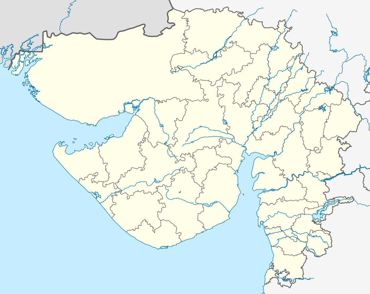
English: location map of Gujarat with the administrative divisions since August 15, 2013
Quadratische Plattkarte. Geographische Begrenzung der Karte:
English: Location map of Gujarat
Equirectangular projection. Geographic limits of the map:
|
||
| ရက်စွဲ | see file history | ||
| ရင်းမြစ် | ကိုယ်ပိုင်ဖန်တီးမှု | ||
| စာရေးသူ | Maximilian Dörrbecker (Chumwa) | ||
| ခွင့်ပြုချက် (ဤဖိုင်ကို ပြန်လည်အသုံးပြုခြင်း) |
ကျွန်ုပ်၊ ဤလုပ်ဆောင်ချက်၏ မူပိုင်ခွင့်ပိုင်ရှင်အနေဖြင့် ဤနေရာမှ အောက်ပါလိုင်စင်များအောက်တွင် ထုတ်လွှင့်ပါသည်:
ဤဖိုင်ကို Creative Commons Attribution-Share Alike 3.0 Unported လိုင်စင်ဖြင့် သတ်မှတ်ထားသည်။
သင်အလိုရှိရာ လိုင်စင်ကို ရွေးချယ်နိုင်ပါသည်။ |
||
| အခြား ဗားရှင်းများ |
|


.svg)


|
This map has been made or improved in the German Kartenwerkstatt (Map Lab). You can propose maps to improve as well.
|
ဖိုင်မှတ်တမ်း
ဖိုင်ကို ယင်းနေ့စွဲ အတိုင်း မြင်နိုင်ရန် နေ့စွဲ/အချိန် တစ်ခုခုပေါ်တွင် ကလစ်နှိပ်ပါ။
| နေ့စွဲ/အချိန် | နမူနာပုံငယ် | မှတ်တမ်း ဒိုင်မန်းရှင်းများ | အသုံးပြုသူ | မှတ်ချက် | |
|---|---|---|---|---|---|
| ကာလပေါ် | ၀၃:၂၀၊ ၂ ဩဂုတ် ၂၀၂၁ | | ၁၁၇၃ × ၉၃၁ (၆၅၁ KB) | C1MM | Reverted to version as of 03:16, 2 August 2021 (UTC) More accurate rivers, coastline from satellite imagery - different bounds (74.62 and 24.82) |
| ၀၃:၁၈၊ ၂ ဩဂုတ် ၂၀၂၁ |  | ၂၁၇၀ × ၁၇၂၂ (၂၆၁ KB) | C1MM | Reverted to version as of 20:30, 29 April 2020 (UTC) | |
| ၀၃:၁၆၊ ၂ ဩဂုတ် ၂၀၂၁ |  | ၁၁၇၃ × ၉၃၁ (၆၅၁ KB) | C1MM | Changed map bounds, coastlines and rivers | |
| ၂၀:၃၀၊ ၂၉ ဧပြီ ၂၀၂၀ |  | ၂၁၇၀ × ၁၇၂၂ (၂၆၁ KB) | C1MM | New layers | |
| ၀၃:၂၉၊ ၁၉ နိုဝင်ဘာ ၂၀၁၃ |  | ၂၁၇၀ × ၁၇၂၂ (၃၈၆ KB) | Chumwa | As of 15 August 2013, there are 33 administrative districts in the state. | |
| ၁၃:၅၇၊ ၁၁ ဧပြီ ၂၀၁၀ |  | ၂၁၇၀ × ၁၇၂၂ (၃၆၂ KB) | Chumwa | == {{int:filedesc}} == {{Information |Description= {{de|Postionskarte von Gujarat}} Quadratische Plattkarte. Geographische Begrenzung der Karte: * N: 24°49'00" N (24.8167°N) * S: 19°57'00" N (19.9500°N) * W: 68°00'00" O (68.0000°O) * |
ဖိုင်သုံးစွဲမှု
အောက်ပါ 3 စာမျက်နှာများ သည် ဤဖိုင်ကို အသုံးပြုထားသည်:
ဂလိုဘယ် ဖိုင်သုံးစွဲမှု
အောက်ပါ အခြားဝီကီများတွင် ဤဖိုင်ကို အသုံးပြုထားသည်-
- ar.wikipedia.org တွင် အသုံးပြုမှု
- as.wikipedia.org တွင် အသုံးပြုမှု
- azb.wikipedia.org တွင် အသုံးပြုမှု
- احمدآباد (هیندوستان)
- علیپور، ناوسری
- وانالا
- ساتامبا
- سانواو
- سانوسری
- ماوجینجاوا
- ماتار, خدا
- ماتا نو ماده
- ساملایا
- سامی, قوجارات
- ساماو (هیندوستان)
- ساماترا
- سالدی (هیندوستان)
- سالانقپور, قوجارات
- واسو (هیندوستان)
- مانوند
- سایجپور
- واتامان
- لاخپات
- مانجال
- دانتا, باناسکانتا
- روپال, قاندهیناقار
- کاچهولی
- روجید (هیندوستان)
- جونا یوقلا
- جونا ساوار
- جونا جاشاپار
- رها (هیندوستان)
- آمودرا (هیندوستان)
- آمراپور, جامناقار, قوجارات
- جهودوادلی
- سونارییا
- جهیلارییا
- جاران
- جانجارییا
- راوالییاوادار
- ماموارا
- جتالواسانا
- راتنال
- راتانپار
- راسولپارا
- جارود, قوجارات
ဤဖိုင်ကို အခြားနေရာများတွင် အသုံးပြုထားမှုများအား ကြည့်ရှုရန်။