
ဖိုင်:Finland physical map.svg

Size of this PNG preview of this SVG file: ၃၀၃ × ၅၉၈ ပစ်ဇယ်. အခြား ပုံရိပ်ပြတ်သားမှု: ၁၂၁ × ၂၄၀ ပစ်ဇယ် | ၂၄၃ × ၄၈၀ ပစ်ဇယ် | ၃၈၉ × ၇၆၈ ပစ်ဇယ် | ၅၁၈ × ၁၀၂၄ ပစ်ဇယ် | ၁၀၃၇ × ၂၀၄၈ ပစ်ဇယ် | ၄၂၇ × ၈၄၃ ပစ်ဇယ်။
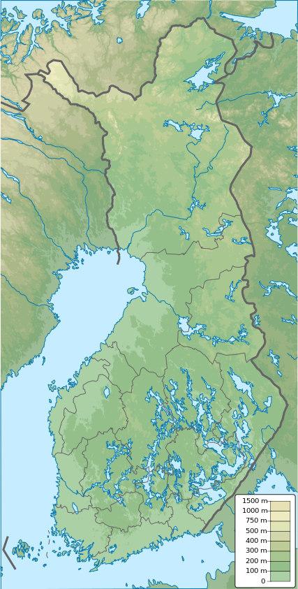
မူရင်းဖိုင် (SVG ဖိုင်, ၄၂၇ × ၈၄၃ pixels ကို အကြံပြုသည်, ဖိုင်အရွယ်အစား - ၃.၉၇ MB)
| ဤဖိုင်သည် Wikimedia Commons မှဖြစ်ပြီး အခြားပရောဂျက်များတွင် သုံးကောင်းသုံးလိမ့်မည်။ ယင်း၏ ဖိုင်အကြောင်းစာမျက်နှာ တွင် ဖော်ပြထားချက်ကို အောက်တွင် ပြထားသည်။ Commons သည် မူပိုင်ခွင့်လွတ်လပ်သော မီဒီယာဖိုင်များ သိုလှောင်ထားရာ နေရာ ဖြစ်သည်။ သင်လည်း ပါဝင်ကူညီနိုင်ပါသည်။ |
အကျဉ်းချုပ်
| ဖော်ပြချက် |
English: Finland physical map, parameters equal to File:Finland location map.svg |
| ရက်စွဲ | |
| ရင်းမြစ် | ကိုယ်ပိုင်ဖန်တီးမှု |
| စာရေးသူ | Urutseg |
လိုင်စင်သတ်မှတ်ခြင်း
| I, the copyright holder of this work, release this work into the public domain. This applies worldwide. In some countries this may not be legally possible; if so: အကျွန်ုပ်သည် ဤဖန်တီးမှုလက်ရာကို ဥပဒေအရလိုအပ်ခြင်းမရှိသည့် မည်သည့်အခြေအနေမျိုးတွက်မဆို၊ မည်သို့သော ရည်ရွယ်ချက်အတွက်မဆို ၎င်းကို မည်သူမဆို အသုံးပြုပိုင်ခွင့်အား ပေးအပ်သည်။ |
ဖိုင်မှတ်တမ်း
ဖိုင်ကို ယင်းနေ့စွဲ အတိုင်း မြင်နိုင်ရန် နေ့စွဲ/အချိန် တစ်ခုခုပေါ်တွင် ကလစ်နှိပ်ပါ။
| နေ့စွဲ/အချိန် | နမူနာပုံငယ် | မှတ်တမ်း ဒိုင်မန်းရှင်းများ | အသုံးပြုသူ | မှတ်ချက် | |
|---|---|---|---|---|---|
| ကာလပေါ် | ၁၂:၀၉၊ ၂၆ ဇန်နဝါရီ ၂၀၂၁ | | ၄၂၇ × ၈၄၃ (၃.၉၇ MB) | Fenn-O-maniC | Updated regional borders as per https://asiointi.maanmittauslaitos.fi/karttapaikka/ |
| ၂၃:၃၉၊ ၂၅ နိုဝင်ဘာ ၂၀၁၉ |  | ၄၂၇ × ၈၄၃ (၃.၉၉ MB) | Pavouk | update border North_Ostrobothnia (+Vaala), delete Eastern Uusimaa, change border (Aland inside Finland, not out) | |
| ၁၃:၅၄၊ ၁၃ ဖေဖော်ဝါရီ ၂၀၁၁ |  | ၄၂၇ × ၈၄၃ (၃.၉၉ MB) | Urutseg | {{Information |Description ={{en|1=Finland physical map, parameters equal to File:Finland location map.svg}} |Source ={{own}} |Author =Urutseg |Date =2011-02-13 |Permission = |other_versions = }} [[C |
ဖိုင်သုံးစွဲမှု
အောက်ပါ စာမျက်နှာ သည် ဤဖိုင်ကို အသုံးပြုထားသည်:
ဂလိုဘယ် ဖိုင်သုံးစွဲမှု
အောက်ပါ အခြားဝီကီများတွင် ဤဖိုင်ကို အသုံးပြုထားသည်-
- am.wikipedia.org တွင် အသုံးပြုမှု
- av.wikipedia.org တွင် အသုံးပြုမှု
- az.wikipedia.org တွင် အသုံးပြုမှု
- be.wikipedia.org တွင် အသုံးပြုမှု
- bn.wikipedia.org တွင် အသုံးပြုမှု
- bs.wikipedia.org တွင် အသုံးပြုမှု
- ca.wikipedia.org တွင် အသုံးပြုမှု
- ceb.wikipedia.org တွင် အသုံးပြုမှု
- ce.wikipedia.org တွင် အသုံးပြုမှု
- ckb.wikipedia.org တွင် အသုံးပြုမှု
- da.wikipedia.org တွင် အသုံးပြုမှု
ဤဖိုင်ကို အခြားနေရာများတွင် အသုံးပြုထားမှုများအား ကြည့်ရှုရန်။