
ဖိုင်:Fiji and oceania.jpg
သည်ထက်ကြီးသော resolution မရှိပါ.
Fiji_and_oceania.jpg (၃၇၁ × ၃၀၃ pixels, ဖိုင်အရွယ်အစား - ၁၆ KB, MIME အမျိုးအစား image/jpeg)
| ဤဖိုင်သည် Wikimedia Commons မှဖြစ်ပြီး အခြားပရောဂျက်များတွင် သုံးကောင်းသုံးလိမ့်မည်။ ယင်း၏ ဖိုင်အကြောင်းစာမျက်နှာ တွင် ဖော်ပြထားချက်ကို အောက်တွင် ပြထားသည်။ Commons သည် မူပိုင်ခွင့်လွတ်လပ်သော မီဒီယာဖိုင်များ သိုလှောင်ထားရာ နေရာ ဖြစ်သည်။ သင်လည်း ပါဝင်ကူညီနိုင်ပါသည်။ |

|
This locator map image could be re-created using vector graphics as an SVG file. This has several advantages; see Commons:Media for cleanup for more information. If an SVG form of this image is available, please upload it and afterwards replace this template with
{{vector version available|new image name}}.
It is recommended to name the SVG file “Fiji and oceania.svg”—then the template Vector version available (or Vva) does not need the new image name parameter. |


| ဖော်ပြချက် |
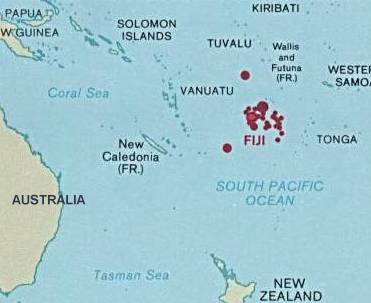
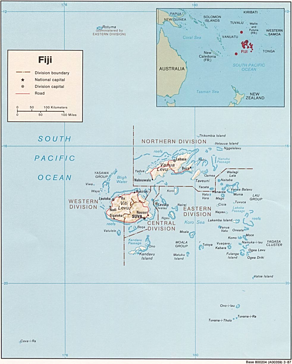
English: Map of Fiji showing the location in Oceania |
| ရက်စွဲ | |
| ရင်းမြစ် | http://www.lib.utexas.edu/maps/islands_oceans_poles/fiji.jpg |
| စာရေးသူ | Central Intelligence Agency |
လိုင်စင်သတ်မှတ်ခြင်း
| This image is a work of a Central Intelligence Agency employee, taken or made as part of that person's official duties. As a Work of the United States Government, this image or media is in the public domain in the United States.
|

|
မူရင်းတင်ထားသောမှတ်တမ်း
ဖော်ပြချက် မူရင်းစာမျက်နှာမှာ here ဖြစ်သည်။ အောက်ပါအသုံးပြုသူ အမည်များအားလုံးသည် en.wikipedia ကို ရည်ညွှန်းသည်။
- 2003-08-10 22:20 Pascal 371×303× (16043 bytes) Same map, a little bit smaller
- 2003-08-10 22:15 Pascal 422×308× (18365 bytes) Map of Fiji showing the location in Oceania from http://www.lib.utexas.edu/maps/index.html
ဖိုင်မှတ်တမ်း
ဖိုင်ကို ယင်းနေ့စွဲ အတိုင်း မြင်နိုင်ရန် နေ့စွဲ/အချိန် တစ်ခုခုပေါ်တွင် ကလစ်နှိပ်ပါ။
| နေ့စွဲ/အချိန် | နမူနာပုံငယ် | မှတ်တမ်း ဒိုင်မန်းရှင်းများ | အသုံးပြုသူ | မှတ်ချက် | |
|---|---|---|---|---|---|
| ကာလပေါ် | ၁၉:၄၅၊ ၂၅ ဧပြီ ၂၀၀၉ | | ၃၇၁ × ၃၀၃ (၁၆ KB) | File Upload Bot (Magnus Manske) | {{BotMoveToCommons|en.wikipedia|year={{subst:CURRENTYEAR}}|month={{subst:CURRENTMONTHNAME}}|day={{subst:CURRENTDAY}}}} {{Information |Description={{en|Map of Fiji showing the location in Oceania<br/> en:Category:Maps of Fiji}} |Source=Transferred |
ဖိုင်သုံးစွဲမှု
အောက်ပါ စာမျက်နှာ သည် ဤဖိုင်ကို အသုံးပြုထားသည်:
ဂလိုဘယ် ဖိုင်သုံးစွဲမှု
အောက်ပါ အခြားဝီကီများတွင် ဤဖိုင်ကို အသုံးပြုထားသည်-
- ar.wikipedia.org တွင် အသုံးပြုမှု
- en.wikipedia.org တွင် အသုံးပြုမှု
- hif.wikipedia.org တွင် အသုံးပြုမှု
- it.wikipedia.org တွင် အသုံးပြုမှု
- pl.wikipedia.org တွင် အသုံးပြုမှု
- sl.wikipedia.org တွင် အသုံးပြုမှု
- ta.wikipedia.org တွင် အသုံးပြုမှု
- ta.wikinews.org တွင် အသုံးပြုမှု
- uk.wikipedia.org တွင် အသုံးပြုမှု