
ဖိုင်:China blank province map.svg

Size of this PNG preview of this SVG file: ၇၀၅ × ၅၉၉ ပစ်ဇယ်. အခြား ပုံရိပ်ပြတ်သားမှု: ၂၈၂ × ၂၄၀ ပစ်ဇယ် | ၅၆၅ × ၄၈၀ ပစ်ဇယ် | ၉၀၄ × ၇၆၈ ပစ်ဇယ် | ၁၂၀၅ × ၁၀၂၄ ပစ်ဇယ် | ၂၄၀၉ × ၂၀၄၈ ပစ်ဇယ် | ၁၀၀၀ × ၈၅၀ ပစ်ဇယ်။
မူရင်းဖိုင် (SVG ဖိုင်, ၁၀၀၀ × ၈၅၀ pixels ကို အကြံပြုသည်, ဖိုင်အရွယ်အစား - ၅၉ KB)
| ဤဖိုင်သည် Wikimedia Commons မှဖြစ်ပြီး အခြားပရောဂျက်များတွင် သုံးကောင်းသုံးလိမ့်မည်။ ယင်း၏ ဖိုင်အကြောင်းစာမျက်နှာ တွင် ဖော်ပြထားချက်ကို အောက်တွင် ပြထားသည်။ Commons သည် မူပိုင်ခွင့်လွတ်လပ်သော မီဒီယာဖိုင်များ သိုလှောင်ထားရာ နေရာ ဖြစ်သည်။ သင်လည်း ပါဝင်ကူညီနိုင်ပါသည်။ |
အကျဉ်းချုပ်
| ဖော်ပြချက် |
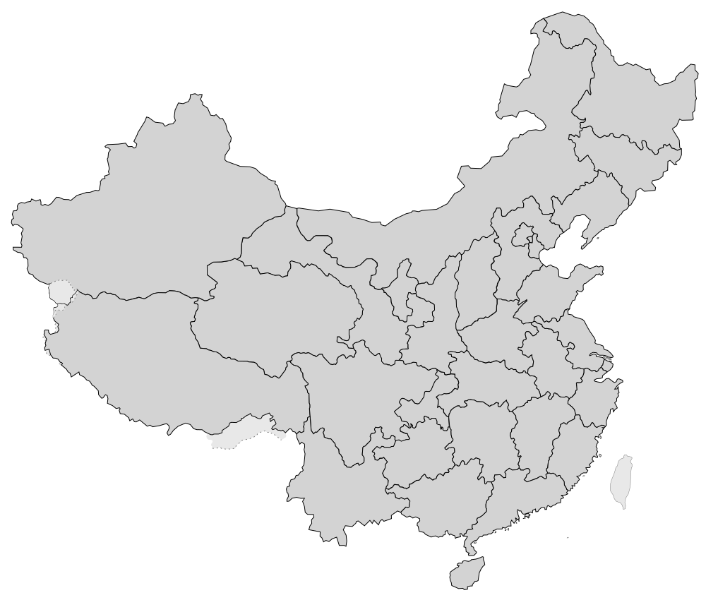
English: A blank SVG map of China, with only provincial borders and disputed territories. |
||
| ရက်စွဲ | |||
| ရင်းမြစ် | ကိုယ်ပိုင်ဖန်တီးမှု | ||
| စာရေးသူ | Newfraferz87 | ||
| ခွင့်ပြုချက် (ဤဖိုင်ကို ပြန်လည်အသုံးပြုခြင်း) |
|
||
| SVG genesis | ဤ SVG ၏ ကုဒ်သည် ခိုင်လုံသည်. This map was created with unknown tool. |
ဖိုင်မှတ်တမ်း
ဖိုင်ကို ယင်းနေ့စွဲ အတိုင်း မြင်နိုင်ရန် နေ့စွဲ/အချိန် တစ်ခုခုပေါ်တွင် ကလစ်နှိပ်ပါ။
| နေ့စွဲ/အချိန် | နမူနာပုံငယ် | မှတ်တမ်း ဒိုင်မန်းရှင်းများ | အသုံးပြုသူ | မှတ်ချက် | |
|---|---|---|---|---|---|
| ကာလပေါ် | ၁၂:၅၉၊ ၃၀ မတ် ၂၀၁၉ | | ၁၀၀၀ × ၈၅၀ (၅၉ KB) | Newfraferz87 | ?! |
| ၁၂:၅၃၊ ၃၀ မတ် ၂၀၁၉ |  | ၁၀၀၀ × ၈၅၀ (၅၇ KB) | Newfraferz87 | User created page with UploadWizard |
ဖိုင်သုံးစွဲမှု
အောက်ပါ 17 စာမျက်နှာများ သည် ဤဖိုင်ကို အသုံးပြုထားသည်:
ဂလိုဘယ် ဖိုင်သုံးစွဲမှု
အောက်ပါ အခြားဝီကီများတွင် ဤဖိုင်ကို အသုံးပြုထားသည်-
- bxr.wikipedia.org တွင် အသုံးပြုမှု
- en.wikipedia.org တွင် အသုံးပြုမှု
- China
- Hong Kong
- Macau
- History of Macau
- Shanghai
- Special administrative regions of China
- Tianjin
- Tibet Autonomous Region
- Inner Mongolia
- Guangdong
- Sichuan
- Hebei
- Shanxi
- Hubei
- Fujian
- Zhejiang
- Shandong
- Anhui
- Gansu
- Liaoning
- Shaanxi
- Wikipedia:WikiProject China/Chinese provinces workgroup
- Henan
- Hunan
- Yunnan
- Hainan
- Jiangsu
- Chongqing
- Jilin
- Guizhou
- Heilongjiang
- Jiangxi
- Qinghai
- Ningxia
- Provinces of China
- Template:Province-level divisions of China
- History of Jiangxi
- History of Yunnan
- Autonomous regions of China
- History of Hong Kong
- Subdistricts of China
- History of Shanghai
- Taiwan Province, People's Republic of China
- History of Xinjiang
- History of Beijing
- History of Jilin
- Wikipedia:WikiProject Countries/Templates/Navboxes/Asian country subdivisions
- Beijing
ဤဖိုင်ကို အခြားနေရာများတွင် အသုံးပြုထားမှုများအား ကြည့်ရှုရန်။