
ဖိုင်:China Yunnan location map.svg

မူရင်းဖိုင် (SVG ဖိုင်, ၁၃၁၈ × ၁၃၂၅ pixels ကို အကြံပြုသည်, ဖိုင်အရွယ်အစား - ၃၃၀ KB)
| ဤဖိုင်သည် Wikimedia Commons မှဖြစ်ပြီး အခြားပရောဂျက်များတွင် သုံးကောင်းသုံးလိမ့်မည်။ ယင်း၏ ဖိုင်အကြောင်းစာမျက်နှာ တွင် ဖော်ပြထားချက်ကို အောက်တွင် ပြထားသည်။ Commons သည် မူပိုင်ခွင့်လွတ်လပ်သော မီဒီယာဖိုင်များ သိုလှောင်ထားရာ နေရာ ဖြစ်သည်။ သင်လည်း ပါဝင်ကူညီနိုင်ပါသည်။ |
အကျဉ်းချုပ်
| ဖော်ပြချက် |
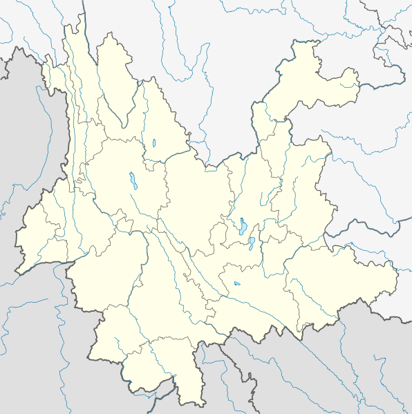
Quadratische Plattkarte, N-S-Streckung 110 %. Geographische Begrenzung der Karte:
Equirectangular projection, N/S stretching 110 %. Geographic limits of the map:
|
|
| ရက်စွဲ | ||
| ရင်းမြစ် |
ကိုယ်ပိုင်ဖန်တီးမှု, using
|
|
| စာရေးသူ | NordNordWest | |
| ခွင့်ပြုချက် (ဤဖိုင်ကို ပြန်လည်အသုံးပြုခြင်း) |
ဤဖိုင်သည် Creative Commons Attribution-Share Alike 3.0 ဂျာမနီ လိုင်စင်အောက်တွင် လိုင်စင်သတ်မှတ်ထားပါသည်။
 ဤဖိုင်သည် Creative Commons Attribution-Share Alike 3.0 ဂျာမနီ လိုင်စင်အောက်တွင် လိုင်စင်သတ်မှတ်ထားပါသည်။
|


|
This map has been made or improved in the German Kartenwerkstatt (Map Lab). You can propose maps to improve as well.
|
ဖိုင်မှတ်တမ်း
ဖိုင်ကို ယင်းနေ့စွဲ အတိုင်း မြင်နိုင်ရန် နေ့စွဲ/အချိန် တစ်ခုခုပေါ်တွင် ကလစ်နှိပ်ပါ။
| နေ့စွဲ/အချိန် | နမူနာပုံငယ် | မှတ်တမ်း ဒိုင်မန်းရှင်းများ | အသုံးပြုသူ | မှတ်ချက် | |
|---|---|---|---|---|---|
| ကာလပေါ် | ၁၈:၁၆၊ ၁၅ မတ် ၂၀၁၀ | | ၁၃၁၈ × ၁၃၂၅ (၃၃၀ KB) | NordNordWest | =={{int:filedesc}}== {{Information |Description= {{de|Positionskarte von Yunnan, Volksrepublik China}} Quadratische Plattkarte, N-S-Streckung 110 %. Geographische Begrenzung der Karte: * N: 29.5° N * S: 21.0° |
ဖိုင်သုံးစွဲမှု
အောက်ပါ 19 စာမျက်နှာများ သည် ဤဖိုင်ကို အသုံးပြုထားသည်:
- ကူမင်း ချန်ဆွေ အပြည်ပြည်ဆိုင်ရာ လေဆိပ်
- ကျင်းဖျင် မြောင်၊ ယောင်နှင့် ရှမ်းကိုယ်ပိုင်အုပ်ချုပ်ခွင့်ရခရိုင်
- ကျန်းချန်ခရိုင်
- ကျိုင်းတုံယီကိုယ်ပိုင်အုပ်ချုပ်ခွင့်ရခရိုင်
- ကျိုင်းဟုံ
- တုန်းချွမ်းခရိုင်
- ဖူးအာမြို့
- မန်စီမြို့ (ယူနန်ပြည်နယ်)
- မိုးဇီမြို့
- မိုးလားခရိုင်
- မိုးလိုင်မြို့နယ်
- မိုးဟိုင်ခရိုင်
- ယွမ်ယန်ခရိုင်၊ ယူနန်
- ရွှေလီ
- ၁၉၈၈ လန်ကန့် - ဂန့်မ ငလျင်များ
- ၂၀၀၈ ရှင်ကျန်းငလျင်များ
- ၂၀၁၁ ယူနန်ငလျင်
- ၂၀၁၄ ယင်ကျန်းငလျင်
- တမ်းပလိတ်:Location map China Yunnan
ဂလိုဘယ် ဖိုင်သုံးစွဲမှု
အောက်ပါ အခြားဝီကီများတွင် ဤဖိုင်ကို အသုံးပြုထားသည်-
- ar.wikipedia.org တွင် အသုံးပြုမှု
- ast.wikipedia.org တွင် အသုံးပြုမှု
- ba.wikipedia.org တွင် အသုံးပြုမှု
- bg.wikipedia.org တွင် အသုံးပြုမှု
- bn.wikipedia.org တွင် အသုံးပြုမှု
- ceb.wikipedia.org တွင် အသုံးပြုမှု
- cs.wikipedia.org တွင် အသုံးပြုမှု
- de.wikipedia.org တွင် အသုံးပြုမှု
- Yulong Xueshan
- Xingyun-See
- Manwan-Talsperre
- Jinlong-Brücke
- Wasserkraftwerk Shilongba
- Fuxian Hu
- Chenghai (See)
- Diancang Shan
- Wikipedia:Kartenwerkstatt/Positionskarten/Asien
- Dian Chi
- Vorlage:Positionskarte China Yunnan
- Bamei-Tal
- Wumeng Shan
- Er Hai
- Jinanqiao-Talsperre
- Nuozhadu-Talsperre
- Ailao Shan
- Yun Ling
- Nu Shan
- Gaoligong Shan
- Jizu Shan
- Wuliang Shan
- Tigersprung-Schlucht
- Ahai-Talsperre
- Daxue Shan (Yunnan)
- Pulibrücke
- Jinshajiang-Brücke-Jin'an
- Jinshajiang-Brücke-Hutiaoxia
- en.wikipedia.org တွင် အသုံးပြုမှု
ဤဖိုင်ကို အခြားနေရာများတွင် အသုံးပြုထားမှုများအား ကြည့်ရှုရန်။