
ဖိုင်:Central America (orthographic projection).svg

Size of this PNG preview of this SVG file: ၅၅၀ × ၅၅၀ ပစ်ဇယ်. အခြား ပုံရိပ်ပြတ်သားမှု: ၂၄၀ × ၂၄၀ ပစ်ဇယ် | ၄၈၀ × ၄၈၀ ပစ်ဇယ် | ၇၆၈ × ၇၆၈ ပစ်ဇယ် | ၁၀၂၄ × ၁၀၂၄ ပစ်ဇယ် | ၂၀၄၈ × ၂၀၄၈ ပစ်ဇယ်။
မူရင်းဖိုင် (SVG ဖိုင်, ၅၅၀ × ၅၅၀ pixels ကို အကြံပြုသည်, ဖိုင်အရွယ်အစား - ၃၅၄ KB)
| ဤဖိုင်သည် Wikimedia Commons မှဖြစ်ပြီး အခြားပရောဂျက်များတွင် သုံးကောင်းသုံးလိမ့်မည်။ ယင်း၏ ဖိုင်အကြောင်းစာမျက်နှာ တွင် ဖော်ပြထားချက်ကို အောက်တွင် ပြထားသည်။ Commons သည် မူပိုင်ခွင့်လွတ်လပ်သော မီဒီယာဖိုင်များ သိုလှောင်ထားရာ နေရာ ဖြစ်သည်။ သင်လည်း ပါဝင်ကူညီနိုင်ပါသည်။ |
အကျဉ်းချုပ်
| ဖော်ပြချက် |
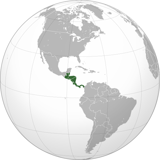
English: Central America (orthographic projection) with colonial borders |
||||
| ရက်စွဲ | |||||
| ရင်းမြစ် |
ကိုယ်ပိုင်ဖန်တီးမှု (Original text: Own work,)
|
||||
| စာရေးသူ | Heraldry | ||||
| ခွင့်ပြုချက် (ဤဖိုင်ကို ပြန်လည်အသုံးပြုခြင်း) |
|
||||
| အခြား ဗားရှင်းများ |
.svg) |
||||
| SVG genesis |

.svg)
.svg)
.svg)
.svg)
.svg)
.svg)
.svg)
.svg)
.svg)
.svg)
.svg)
.svg)
.svg)
.svg)
.svg)
.svg)
.svg)
.svg)
.svg)
.svg)
.svg)
.svg)
.svg)
.svg)
.svg)
.svg)
.svg)
.svg)
.svg)
.svg)
.svg)
.svg)
.svg)
.svg)
.svg)
.svg)
.svg)
.svg)
.svg)
.svg)
.svg)
.svg)
.svg)
.svg)
.svg)
.svg)
.svg)
.svg)
.svg)
.svg)
.svg)
.svg)
.svg)
.svg)
.svg)
.svg)
.svg)
.svg)
.svg)
.svg)
.svg)
.svg)
.svg)
.svg)
.svg)
.svg)
.svg)
.svg)
.svg)
.svg)
.svg)
.svg)
.svg)

.svg)

.svg)

.svg)
.svg)
.svg)
.svg)
.svg)
.svg)
.svg)


.svg)
.svg)
.svg)
.svg)
.svg)
.svg)
.svg)

.svg)
.svg)
.svg)
.svg)
.svg)
.svg)
.svg)
.svg)
.svg)

.svg)
.svg)
.svg)
.svg)
.svg)
.svg)
.svg)
_without_national_boundaries.svg)
.svg)
.svg)
.svg)
.svg)
.svg)
.svg)

.svg)
.svg)
.png)
.svg)
.svg)
.svg)
.svg)

.svg)
.svg)
.svg)
.svg)
.svg)
.svg)
.svg)
.svg)
.svg)
.svg)
.svg)

.svg)
.svg)
.svg)
.svg)
.svg)
.svg)
.svg)
.svg)
.svg)

.svg)
.svg)

.svg)
.svg)
.svg)
.svg)
.svg)
.svg)
.svg)
.svg)
.svg)
.svg)
.svg)
.svg)
.svg)
.svg)
.svg)
.svg)
.svg)
.svg)
.svg)
.svg)
.svg)
.svg)
.svg)
.svg)
.svg)
.svg)
.svg)
_-_Crimea_disputed.svg)
.svg)
.svg)
.svg)
.svg)
.svg)
.svg)
.svg)
.svg)
.svg)
.svg)
.svg)
_political.svg)
.svg)
.svg)
.svg)
.svg)
_-_Crimea_disputed_-_no_borders.svg)
.svg)
.svg)
.svg)
.svg)
.svg)
.svg)
.svg)
.svg)
.svg)
.svg)
.svg)

.svg)
.svg)
.svg)

.png)
.svg)
.svg)
.svg)
.svg)
.svg)
.svg)
.svg)
.svg)
.svg)
.svg)
.svg)
.svg)
.svg)
.svg)
.svg)
.svg)
.svg)
.svg)
.svg)
.svg)
.svg)
.svg)
.svg)
.svg)
.svg)
.svg)
.svg)
.svg)
.svg)
.svg)
.svg)
.svg)
.svg)
.svg)
.png)
.svg)
.svg)
.svg)
_(orthographic_projection).png)
.svg)
.svg)
.svg)
.svg)
.svg)
လိုင်စင်သတ်မှတ်ခြင်း
ကျွန်ုပ်၊ ဤလုပ်ဆောင်ချက်၏ မူပိုင်ခွင့်ပိုင်ရှင်အနေဖြင့် ဤနေရာမှ အောက်ပါလိုင်စင်အောက်တွင် ထုတ်လွှင့်ပါသည်:

|
ဤစာတမ်းကို GNU Free Documentation License, ဗားရှင်း ၁.၂ သို့မဟုတ် Free Software Foundation မှ ဖြန့်ချီထားသော မည်သည့်ယခင်ဗားရှင်းတစ်ခုခုအောက်တွင် Invariant Sections, Front-Cover Texts နှင့် Back-Cover Texts များမပါဝင်ဘဲ ကူးယူခြင်း၊ ဖြန့်ချီခြင်း နှင့်/သို့မဟုတ် ပြင်ဆင်ပြောင်းလဲနိုင်ရန် ခွင့်ပြုသည်။ လိုင်စင်မူပွားကို GNU Free Documentation License ခေါင်းစဉ်အောက်တွင် ထည့်သွင်းထားသည်။ |
| ဤဖိုင်ကို Creative Commons Attribution-Share Alike 3.0 Unported လိုင်စင်ဖြင့် သတ်မှတ်ထားသည်။ | ||
| ||
| This licensing tag was added to this file as part of the GFDL licensing update. |
ဖိုင်မှတ်တမ်း
ဖိုင်ကို ယင်းနေ့စွဲ အတိုင်း မြင်နိုင်ရန် နေ့စွဲ/အချိန် တစ်ခုခုပေါ်တွင် ကလစ်နှိပ်ပါ။
.svg&dir=prev)
.svg&offset=20090710081847)
.svg&offset=&limit=20)
.svg&offset=&limit=50)
.svg&offset=&limit=100)
.svg&offset=&limit=250)
.svg&offset=&limit=500)
| နေ့စွဲ/အချိန် | နမူနာပုံငယ် | မှတ်တမ်း ဒိုင်မန်းရှင်းများ | အသုံးပြုသူ | မှတ်ချက် | |
|---|---|---|---|---|---|
| ကာလပေါ် | ၀၂:၀၁၊ ၂၉ ဇွန် ၂၀၂၃ | | ၅၅၀ × ၅၅၀ (၃၅၄ KB) | Avaflyne | Reverted to version as of 05:29, 26 June 2023 (UTC) |
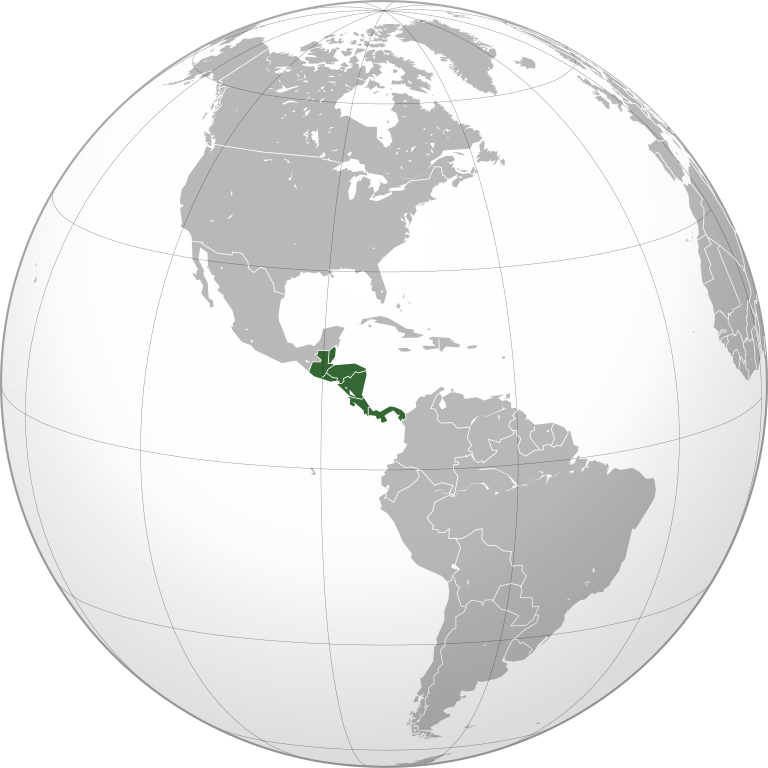
| ၁၄:၁၅၊ ၂၆ ဇွန် ၂၀၂၃ |  | ၂၀၄၈ × ၂၀၄၈ (၃၉၁ KB) | HelpfulHens | Mexico is part of Central America according the the United Nations | |
| ၀၅:၂၉၊ ၂၆ ဇွန် ၂၀၂၃ |  | ၅၅၀ × ၅၅၀ (၃၅၄ KB) | Treetoes023 | Reverted to version as of 15:04, 25 November 2009 (UTC) | |
| ၂၀:၃၁၊ ၂၅ ဇွန် ၂၀၂၃ |  | ၂၀၄၈ × ၂၀၄၈ (၃၉၁ KB) | HelpfulHens | Removed Colombia and Venezuela | |
| ၁၃:၁၁၊ ၁၃ မတ် ၂၀၂၃ |  | ၅၅၀ × ၅၅၀ (၃၅၄ KB) | LR0725 | Reverted to version as of 15:04, 25 November 2009 (UTC) | |
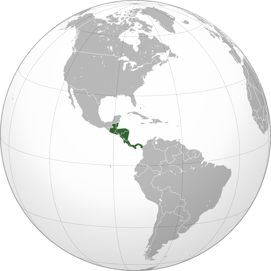
| ၂၂:၂၆၊ ၉ မတ် ၂၀၂၃ |  | ၆၀၀ × ၆၀၀ (၅၁၉ KB) | TBAG654321 | Added Mexico | |
| ၁၅:၀၄၊ ၂၅ နိုဝင်ဘာ ၂၀၀၉ |  | ၅၅၀ × ၅၅၀ (၃၅၄ KB) | Keepscases | borders should be more intense | |
| ၁၆:၄၁၊ ၇ စက်တင်ဘာ ၂၀၀၉ |  | ၅၅၀ × ၅၅၀ (၃၅၄ KB) | TownDown | sized according | |
| ၀၈:၃၂၊ ၁၀ ဇူလိုင် ၂၀၀၉ |  | ၅၄၁ × ၅၄၁ (၃၅၃ KB) | TownDown | details | |
| ၀၈:၁၈၊ ၁၀ ဇူလိုင် ၂၀၀၉ |  | ၅၄၁ × ၅၄၁ (၃၅၄ KB) | TownDown | focused |
ဖိုင်သုံးစွဲမှု
အောက်ပါ စာမျက်နှာ သည် ဤဖိုင်ကို အသုံးပြုထားသည်:
ဂလိုဘယ် ဖိုင်သုံးစွဲမှု
အောက်ပါ အခြားဝီကီများတွင် ဤဖိုင်ကို အသုံးပြုထားသည်-
- af.wikipedia.org တွင် အသုံးပြုမှု
- am.wikipedia.org တွင် အသုံးပြုမှု
- ar.wikipedia.org တွင် အသုံးပြုမှု
- ar.wikinews.org တွင် အသုံးပြုမှု
- be-tarask.wikipedia.org တွင် အသုံးပြုမှု
- be.wikipedia.org တွင် အသုံးပြုမှု
- bg.wikipedia.org တွင် အသုံးပြုမှု
- bi.wikipedia.org တွင် အသုံးပြုမှု
- bn.wikipedia.org တွင် အသုံးပြုမှု
- br.wikipedia.org တွင် အသုံးပြုမှု
- ceb.wikipedia.org တွင် အသုံးပြုမှု
- co.wikimedia.org တွင် အသုံးပြုမှု
- cs.wikipedia.org တွင် အသုံးပြုမှု
- en.wikipedia.org တွင် အသုံးပြုမှု
- Talk:Central America
- Wikipedia:Userboxes/Location
- Wikipedia:Userboxes/Location/Americas
- User:UdovdM
- San Sombrèro
- User:Buaidh
- Wikipedia:WikiProject Central America
- Template:User WikiProject Central America
- Category:Mammals of Central America
- Category:Birds of Central America
- Template:User WP El Salvador
- Wikipedia:Userboxes/Travel
- Category:WikiProject Central America participants
- Category:Jews and Judaism in Central America
- User:Buaidh/Test4
- Template:User interest Belize
- Template:User interest Belize/doc
- Template:User interest Costa Rica
- Template:User interest Costa Rica/doc
- Template:User interest El Salvador
- Template:User interest El Salvador/doc
- Template:User interest Guatemala
- Template:User interest Guatemala/doc
- Template:User interest Honduras
- Template:User interest Honduras/doc
- Template:User interest Nicaragua
ဤဖိုင်ကို အခြားနေရာများတွင် အသုံးပြုထားမှုများအား ကြည့်ရှုရန်။
.svg)
.svg)