
ဖိုင်:Canada Newfoundland and Labrador location map.svg

Size of this PNG preview of this SVG file: ၄၁၉ × ၅၉၉ ပစ်ဇယ်. အခြား ပုံရိပ်ပြတ်သားမှု: ၁၆၈ × ၂၄၀ ပစ်ဇယ် | ၃၃၆ × ၄၈၀ ပစ်ဇယ် | ၅၃၇ × ၇၆၈ ပစ်ဇယ် | ၇၁၆ × ၁၀၂၄ ပစ်ဇယ် | ၁၄၃၂ × ၂၀၄၈ ပစ်ဇယ် | ၁၅၁၂ × ၂၁၆၂ ပစ်ဇယ်။
မူရင်းဖိုင် (SVG ဖိုင်, ၁၅၁၂ × ၂၁၆၂ pixels ကို အကြံပြုသည်, ဖိုင်အရွယ်အစား - ၁.၁၅ MB)
| ဤဖိုင်သည် Wikimedia Commons မှဖြစ်ပြီး အခြားပရောဂျက်များတွင် သုံးကောင်းသုံးလိမ့်မည်။ ယင်း၏ ဖိုင်အကြောင်းစာမျက်နှာ တွင် ဖော်ပြထားချက်ကို အောက်တွင် ပြထားသည်။ Commons သည် မူပိုင်ခွင့်လွတ်လပ်သော မီဒီယာဖိုင်များ သိုလှောင်ထားရာ နေရာ ဖြစ်သည်။ သင်လည်း ပါဝင်ကူညီနိုင်ပါသည်။ |
အကျဉ်းချုပ်
| ဖော်ပြချက် |
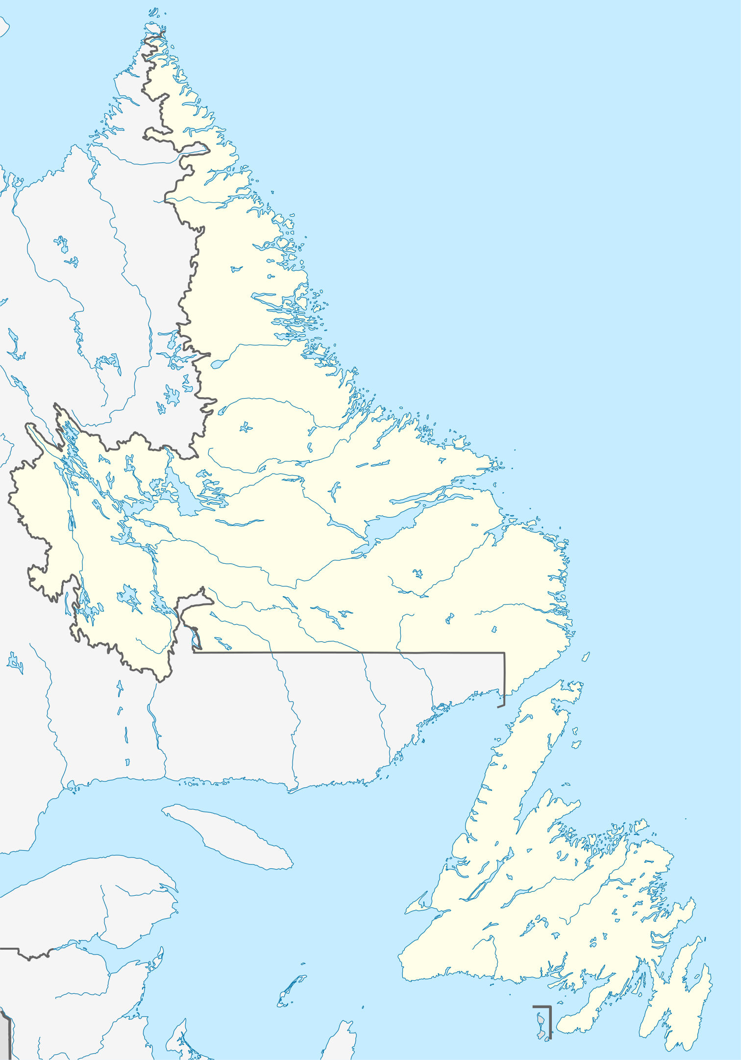
Quadratische Plattkarte, N-S-Streckung 160 %. Geographische Begrenzung der Karte:
Equirectangular projection, N/S stretching 160 %. Geographic limits of the map:
|
| ရက်စွဲ | |
| ရင်းမြစ် |
ကိုယ်ပိုင်ဖန်တီးမှု, using
|
| စာရေးသူ | NordNordWest |
| ခွင့်ပြုချက် (ဤဖိုင်ကို ပြန်လည်အသုံးပြုခြင်း) |
ကျွန်ုပ်၊ ဤလုပ်ဆောင်ချက်၏ မူပိုင်ခွင့်ပိုင်ရှင်အနေဖြင့် ဤနေရာမှ အောက်ပါလိုင်စင်အောက်တွင် ထုတ်လွှင့်ပါသည်: ဤဖိုင်ကို Creative Commons Attribution-Share Alike 3.0 Unported လိုင်စင်ဖြင့် သတ်မှတ်ထားသည်။
|
| အခြား ဗားရှင်းများ |
Derivative works of this file: Labrador Region Map with Towns and Highway.svg
|


|
This map has been made or improved in the German Kartenwerkstatt (Map Lab). You can propose maps to improve as well.
|
ဖိုင်မှတ်တမ်း
ဖိုင်ကို ယင်းနေ့စွဲ အတိုင်း မြင်နိုင်ရန် နေ့စွဲ/အချိန် တစ်ခုခုပေါ်တွင် ကလစ်နှိပ်ပါ။
| နေ့စွဲ/အချိန် | နမူနာပုံငယ် | မှတ်တမ်း ဒိုင်မန်းရှင်းများ | အသုံးပြုသူ | မှတ်ချက် | |
|---|---|---|---|---|---|
| ကာလပေါ် | ၁၄:၃၈၊ ၂၈ ဩဂုတ် ၂၀၀၉ | | ၁၅၁၂ × ၂၁၆၂ (၁.၁၅ MB) | NordNordWest | {{int:filedesc}} {{Information |Description= {{de|Positionskarte von Neufundland und Labrador, Kanada}} Quadratische Plattkarte, N-S-Streckung 160 %. Geographische Begrenzung der Karte: * N: 60.8° N * S: 46 |
ဖိုင်သုံးစွဲမှု
ဤဖိုင်ကို အသုံးပြုထားသော စာမျက်နှာများမရှိပါ။
ဂလိုဘယ် ဖိုင်သုံးစွဲမှု
အောက်ပါ အခြားဝီကီများတွင် ဤဖိုင်ကို အသုံးပြုထားသည်-
- af.wikipedia.org တွင် အသုံးပြုမှု
- ar.wikipedia.org တွင် အသုံးပြုမှု
- ba.wikipedia.org တွင် အသုံးပြုမှု
- ce.wikipedia.org တွင် အသုံးပြုမှု
- cs.wikipedia.org တွင် အသုံးပြုမှု
- de.wikipedia.org တွင် အသုံးပြုမှု
- St. John’s (Neufundland)
- Gros-Morne-Nationalpark
- Dildo (Neufundland)
- Gander
- Wasserkraftwerk Churchill Falls
- Channel-Port aux Basques
- Peterview
- Grand Falls-Windsor
- Badger (Neufundland und Labrador)
- Labrador City
- Happy Valley-Goose Bay
- L’Anse-au-Clair
- Red Bay (Neufundland und Labrador)
- Gander International Airport
- Mount Pearl
- Corner Brook
- Deer Lake (Neufundland)
- Stephenville (Neufundland)
- Twillingate
- Conception Bay South
- St. Anthony (Neufundland)
- L’Anse-Amour
- Arnold’s Cove
- North River (Town, Neufundland)
- Wikipedia:Kartenwerkstatt/Positionskarten/Nordamerika
- Ferryland
- Vorlage:Positionskarte Kanada Neufundland und Labrador
- Cape St. Mary’s
- Benutzer:Zuviele Interessen/Hvítramannaland
- Cape Race Lighthouse
- Come By Chance (Neufundland und Labrador)
- Point of Bay
- Mary Brown’s Centre
- Wabush
- Stephenville International Airport
- Admirals Beach
- Harbour Grace
- Point Rosee
- Sop’s Arm
- Vorlage:Positionskarte Kanada Neufundland
- Point Amour Lighthouse
- World U-17 Hockey Challenge 2004
- Placentia (Neufundland und Labrador)
ဤဖိုင်ကို အခြားနေရာများတွင် အသုံးပြုထားမှုများအား ကြည့်ရှုရန်။