
ဖိုင်:Banjul Arch 22.jpg
ဤနမူနာ၏ အရွယ်အစား - ၈၀၀ × ၆၀၀ ပစ်ဇယ်။ အခြား ပုံရိပ်ပြတ်သားမှု: ၃၂၀ × ၂၄၀ ပစ်ဇယ် | ၆၄၀ × ၄၈၀ ပစ်ဇယ် | ၁၀၂၄ × ၇၆၈ ပစ်ဇယ် | ၁၂၈၀ × ၉၆၀ ပစ်ဇယ် | ၂၅၆၀ × ၁၉၂၀ ပစ်ဇယ် | ၃၁၉၅ × ၂၃၉၆ ပစ်ဇယ်။
မူရင်းဖိုင် (၃၁၉၅ × ၂၃၉၆ pixels, ဖိုင်အရွယ်အစား - ၂.၀၁ MB, MIME အမျိုးအစား image/jpeg)
| ဤဖိုင်သည် Wikimedia Commons မှဖြစ်ပြီး အခြားပရောဂျက်များတွင် သုံးကောင်းသုံးလိမ့်မည်။ ယင်း၏ ဖိုင်အကြောင်းစာမျက်နှာ တွင် ဖော်ပြထားချက်ကို အောက်တွင် ပြထားသည်။ Commons သည် မူပိုင်ခွင့်လွတ်လပ်သော မီဒီယာဖိုင်များ သိုလှောင်ထားရာ နေရာ ဖြစ်သည်။ သင်လည်း ပါဝင်ကူညီနိုင်ပါသည်။ |
| Camera location | | View this and other nearby images on: OpenStreetMap |
|---|
| ဖော်ပြချက် |
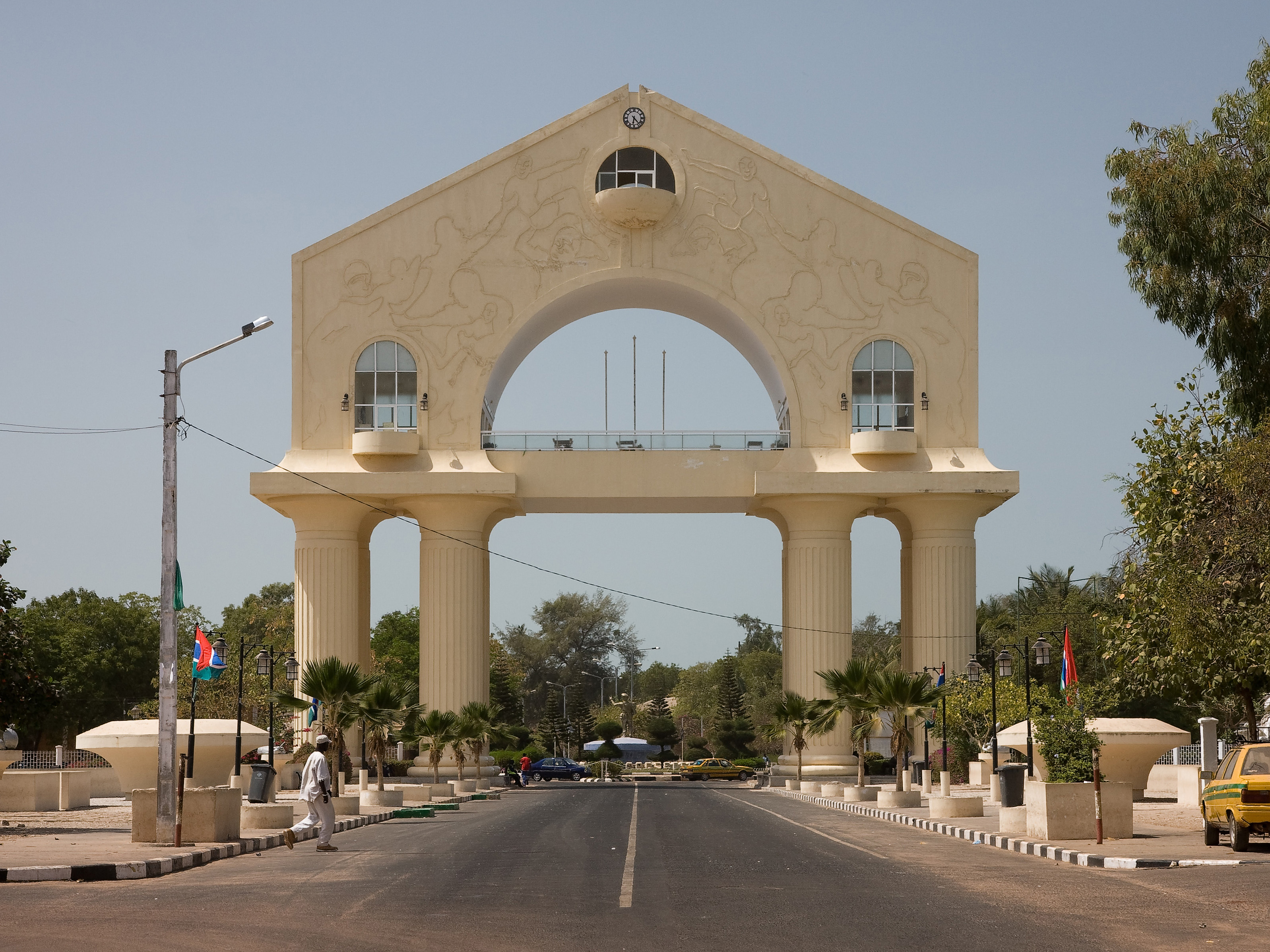
Deutsch: Der Arch 22 in Banjul, Gambia. Der Bogen wurde zu Ehren des Militärputsches vom 22. Juli 1994 gebaut. English: Arch 22 in Banjul, The Gambia. |
| ရက်စွဲ | |
| ရင်းမြစ် | Self-photographed |
| စာရေးသူ | Ikiwaner |

|
ဤစာတမ်းကို GNU Free Documentation License, ဗားရှင်း ၁.၂ သို့မဟုတ် Free Software Foundation မှ ဖြန့်ချီထားသော မည်သည့်ယခင်ဗားရှင်းတစ်ခုခုအောက်တွင် Invariant Sections, Front-Cover Texts နှင့် Back-Cover Texts များမပါဝင်ဘဲ ကူးယူခြင်း၊ ဖြန့်ချီခြင်း နှင့်/သို့မဟုတ် ပြင်ဆင်ပြောင်းလဲနိုင်ရန် ခွင့်ပြုသည်။ လိုင်စင်မူပွားကို GNU Free Documentation License ခေါင်းစဉ်အောက်တွင် ထည့်သွင်းထားသည်။ |
| ဤဖိုင်ကို Creative Commons Attribution-Share Alike 3.0 Unported လိုင်စင်ဖြင့် သတ်မှတ်ထားသည်။ | ||
| ||
| This licensing tag was added to this file as part of the GFDL licensing update. |
ဖိုင်မှတ်တမ်း
ဖိုင်ကို ယင်းနေ့စွဲ အတိုင်း မြင်နိုင်ရန် နေ့စွဲ/အချိန် တစ်ခုခုပေါ်တွင် ကလစ်နှိပ်ပါ။
| နေ့စွဲ/အချိန် | နမူနာပုံငယ် | မှတ်တမ်း ဒိုင်မန်းရှင်းများ | အသုံးပြုသူ | မှတ်ချက် | |
|---|---|---|---|---|---|
| ကာလပေါ် | ၂၂:၀၈၊ ၁၁ မတ် ၂၀၀၈ | | ၃၁၉၅ × ၂၃၉၆ (၂.၀၁ MB) | Ikiwaner | {{Location|13|27|35.654|N|16|34|54.584|W|heading:NW}} {{Information |Description={{de|Der Arch 22 in Banjul, Gambia. Der Bogen wurde zu Ehren des Militärputsches vom 22. Juli 1994 gebaut.}}{{en|Arch 22 in Banjul, The Gambia.}} |Source=eigenes Bild |Date= |
ဖိုင်သုံးစွဲမှု
အောက်ပါ စာမျက်နှာ သည် ဤဖိုင်ကို အသုံးပြုထားသည်:
ဂလိုဘယ် ဖိုင်သုံးစွဲမှု
အောက်ပါ အခြားဝီကီများတွင် ဤဖိုင်ကို အသုံးပြုထားသည်-
- en.wikipedia.org တွင် အသုံးပြုမှု
- fi.wikipedia.org တွင် အသုံးပြုမှု
- incubator.wikimedia.org တွင် အသုံးပြုမှု
- mk.wikipedia.org တွင် အသုံးပြုမှု
- nds.wikipedia.org တွင် အသုံးပြုမှု
- si.wikipedia.org တွင် အသုံးပြုမှု
- sv.wikipedia.org တွင် အသုံးပြုမှု
- tum.wikipedia.org တွင် အသုံးပြုမှု
- uk.wikipedia.org တွင် အသုံးပြုမှု
- vi.wikipedia.org တွင် အသုံးပြုမှု