
ဖိုင်:Australia Queensland location map.svg

မူရင်းဖိုင် (SVG ဖိုင်, ၁၁၆၉ × ၁၅၄၀ pixels ကို အကြံပြုသည်, ဖိုင်အရွယ်အစား - ၈၀၈ KB)
| ဤဖိုင်သည် Wikimedia Commons မှဖြစ်ပြီး အခြားပရောဂျက်များတွင် သုံးကောင်းသုံးလိမ့်မည်။ ယင်း၏ ဖိုင်အကြောင်းစာမျက်နှာ တွင် ဖော်ပြထားချက်ကို အောက်တွင် ပြထားသည်။ Commons သည် မူပိုင်ခွင့်လွတ်လပ်သော မီဒီယာဖိုင်များ သိုလှောင်ထားရာ နေရာ ဖြစ်သည်။ သင်လည်း ပါဝင်ကူညီနိုင်ပါသည်။ |
အကျဉ်းချုပ်
| ဖော်ပြချက် |
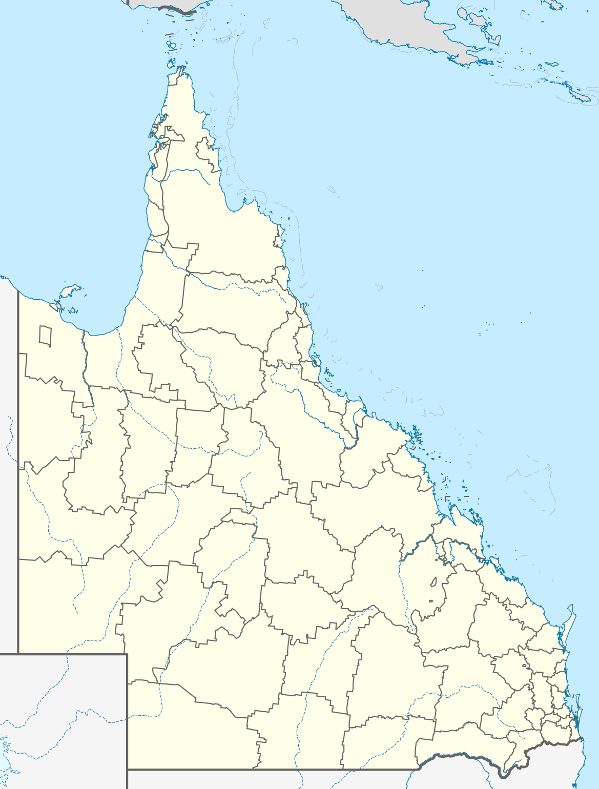
Quadratische Plattkarte, N-S-Streckung 106 %. Geographische Begrenzung der Karte:
Equirectangular projection, N/S stretching 106 %. Geographic limits of the map:
|
||
| ရက်စွဲ | |||
| ရင်းမြစ် |
ကိုယ်ပိုင်ဖန်တီးမှု, using
|
||
| စာရေးသူ | NordNordWest | ||
| ခွင့်ပြုချက် (ဤဖိုင်ကို ပြန်လည်အသုံးပြုခြင်း) |
ဤဖိုင်သည် Creative Commons Attribution-Share Alike 3.0 ဂျာမနီ လိုင်စင်အောက်တွင် လိုင်စင်သတ်မှတ်ထားပါသည်။
 |
||
| SVG genesis | ဤ SVG ၏ ကုဒ်သည် ခိုင်လုံသည်. This map was created with unknown tool.
|


ဖိုင်မှတ်တမ်း
ဖိုင်ကို ယင်းနေ့စွဲ အတိုင်း မြင်နိုင်ရန် နေ့စွဲ/အချိန် တစ်ခုခုပေါ်တွင် ကလစ်နှိပ်ပါ။
| နေ့စွဲ/အချိန် | နမူနာပုံငယ် | မှတ်တမ်း ဒိုင်မန်းရှင်းများ | အသုံးပြုသူ | မှတ်ချက် | |
|---|---|---|---|---|---|
| ကာလပေါ် | ၁၆:၃၁၊ ၃ ဇန်နဝါရီ ၂၀၂၂ | | ၁၁၆၉ × ၁၅၄၀ (၈၀၈ KB) | The2016 | Updated to show the de-amalgamated Shires of Livingstone, Noosa, Mareeba and Douglas. |
| ၂၂:၀၇၊ ၄ ဧပြီ ၂၀၁၀ |  | ၁၁၆၉ × ၁၅၄၀ (၈၀၄ KB) | Chumwa | Reverted to version as of 20:09, 21 January 2010 | |
| ၁၉:၅၄၊ ၄ ဧပြီ ၂၀၁၀ |  | ၁၁၆၉ × ၁၅၄၀ (၆၃၈ KB) | Roke~commonswiki | local government low saliance, dont appear on general use maps | |
| ၂၀:၀၉၊ ၂၁ ဇန်နဝါရီ ၂၀၁၀ |  | ၁၁၆၉ × ၁၅၄၀ (၈၀၄ KB) | NordNordWest | final | |
| ၂၀:၂၆၊ ၁၃ ဇန်နဝါရီ ၂၀၁၀ |  | ၁၁၆၉ × ၁၅၄၀ (၆၃၈ KB) | NordNordWest | {Information |Description= {{de|Positionskarte von Queensland, Australien, Vorversion}} Quadratische Plattkarte, N-S-Streckung 106 %. Geographische Begrenzung der Karte: * N: 9.0° S * S: 29.5° S * W: 137.5° O |
ဖိုင်သုံးစွဲမှု
အောက်ပါ 2 စာမျက်နှာများ သည် ဤဖိုင်ကို အသုံးပြုထားသည်:
ဂလိုဘယ် ဖိုင်သုံးစွဲမှု
အောက်ပါ အခြားဝီကီများတွင် ဤဖိုင်ကို အသုံးပြုထားသည်-
- af.wikipedia.org တွင် အသုံးပြုမှု
- als.wikipedia.org တွင် အသုံးပြုမှု
- ar.wikipedia.org တွင် အသုံးပြုမှု
- arz.wikipedia.org တွင် အသုံးပြုမှု
- ast.wikipedia.org တွင် အသုံးပြုမှု
- azb.wikipedia.org တွင် အသုံးပြုမှု
- ba.wikipedia.org တွင် အသုံးပြုမှု
- be.wikipedia.org တွင် အသုံးပြုမှု
- bg.wikipedia.org တွင် အသုံးပြုမှု
- bn.wikipedia.org တွင် အသုံးပြုမှု
- ceb.wikipedia.org တွင် အသုံးပြုမှု
- cs.wikipedia.org တွင် အသုံးပြုမှု
- da.wikipedia.org တွင် အသုံးပြုမှု
- de.wikipedia.org တွင် အသုံးပြုမှု
- Brisbane
- Gold Coast (Australien)
- Cairns
- Australia Zoo
- Q1 Tower
- Port Douglas (Queensland)
- Townsville
- Cooktown
- Mount Isa
- Rockhampton
- Kuranda
- Coolangatta
- Thuringowa
- Mackay (Queensland)
- Gateway Bridge
- Logan (Australien)
- Marburg (Queensland)
- Minden (Queensland)
- Mission Beach (Queensland)
- Birdsville (Queensland)
- Southport (Australien)
- Caloundra
ဤဖိုင်ကို အခြားနေရာများတွင် အသုံးပြုထားမှုများအား ကြည့်ရှုရန်။