
ဖိုင်:Indonesia Papua 2022 location map.svg

Size of this PNG preview of this SVG file: ၈၀၀ × ၅၁၁ ပစ်ဇယ်. အခြား ပုံရိပ်ပြတ်သားမှု: ၃၂၀ × ၂၀၄ ပစ်ဇယ် | ၆၄၀ × ၄၀၉ ပစ်ဇယ် | ၁၀၂၄ × ၆၅၄ ပစ်ဇယ် | ၁၂၈၀ × ၈၁၇ ပစ်ဇယ် | ၂၅၆၀ × ၁၆၃၄ ပစ်ဇယ် | ၂၈၃၂ × ၁၈၀၈ ပစ်ဇယ်။
မူရင်းဖိုင် (SVG ဖိုင်, ၂၈၃၂ × ၁၈၀၈ pixels ကို အကြံပြုသည်, ဖိုင်အရွယ်အစား - ၁၄၄ KB)
| ဤဖိုင်သည် Wikimedia Commons မှဖြစ်ပြီး အခြားပရောဂျက်များတွင် သုံးကောင်းသုံးလိမ့်မည်။ ယင်း၏ ဖိုင်အကြောင်းစာမျက်နှာ တွင် ဖော်ပြထားချက်ကို အောက်တွင် ပြထားသည်။ Commons သည် မူပိုင်ခွင့်လွတ်လပ်သော မီဒီယာဖိုင်များ သိုလှောင်ထားရာ နေရာ ဖြစ်သည်။ သင်လည်း ပါဝင်ကူညီနိုင်ပါသည်။ |
အကျဉ်းချုပ်
| ဖော်ပြချက် |
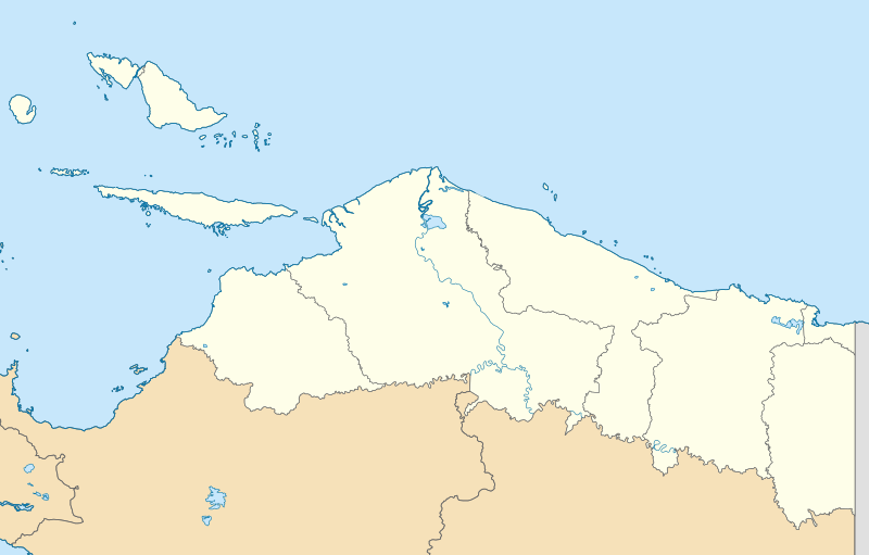
English: Location map of Papua, Indonesia
WGS84, UTM
|
| ရက်စွဲ | |
| ရင်းမြစ် | ကိုယ်ပိုင်ဖန်တီးမှု |
| စာရေးသူ | Envapid |
လိုင်စင်သတ်မှတ်ခြင်း
ကျွန်ုပ်၊ ဤလုပ်ဆောင်ချက်၏ မူပိုင်ခွင့်ပိုင်ရှင်အနေဖြင့် ဤနေရာမှ အောက်ပါလိုင်စင်အောက်တွင် ထုတ်လွှင့်ပါသည်:
ဤဖိုင်သည် Creative Commons Attribution-Share Alike 4.0 နိုင်ငံတကာ လိုင်စင်အောက်တွင် လိုင်စင်သတ်မှတ်ထားပါသည်။
- သင်သည် လွတ်လပ်စွာ:
- မျှဝေရန် – ဖန်တီးမှုကို ကူးယူရန်၊ ဖြန့်ဖြူးရန်နှင့် ထုတ်လွှင့်ရန်
- ပြန်ရောနှောရန် – ဖန်တီးမှုကို ပြင်ဆင်ညှိနှိုင်းရန်
- အောက်ပါ အခြေအနေများတွင်:
- မှတ်ယူနိုင်ခြင်း – ပြောင်းလဲမှုများ ပြုလုပ်ခဲ့ပါက ဖန်တီးသူ သို့မဟုတ် လိုင်စင်ရှိသူမှ သတ်မှတ်သော အမျိုးအစားကို လိုက်နာရမည် (ဆိုလိုသည်မှာ သင့်အား သို့မဟုတ် သင့်ဖန်တီးမှုတွင် အသုံးပြုခြင်းအား ထောက်ခံချက်ပေးသည်ဟု မဆိုလိုပါ)။
- ထပ်တူမျှဝေ – ဤဖန်တီးမှုအား ပြင်ဆင်ခြင်း၊ ပြောင်းလဲခြင်း သို့မဟုတ် ထပ်ဆင့် ဖန်တီးခြင်း ပြုလုပ်ပါက ရရှိလာသော ဖန်တီးမှုကို ဤဖန်တီးမှုနှင့် သို့မဟုတ် ဆင်တူသော လိုင်စင်ဖြင့်သာ ဖြန့်ချိသင့်သည်။
ဖိုင်မှတ်တမ်း
ဖိုင်ကို ယင်းနေ့စွဲ အတိုင်း မြင်နိုင်ရန် နေ့စွဲ/အချိန် တစ်ခုခုပေါ်တွင် ကလစ်နှိပ်ပါ။
| နေ့စွဲ/အချိန် | နမူနာပုံငယ် | မှတ်တမ်း ဒိုင်မန်းရှင်းများ | အသုံးပြုသူ | မှတ်ချက် | |
|---|---|---|---|---|---|
| ကာလပေါ် | ၁၅:၄၇၊ ၉ ဇန်နဝါရီ ၂၀၂၄ | | ၂၈၃၂ × ၁၈၀၈ (၁၄၄ KB) | Envapid | fix2 |
| ၁၃:၅၁၊ ၉ ဇန်နဝါရီ ၂၀၂၄ |  | ၂၈၃၂ × ၁၈၀၈ (၁၄၄ KB) | Envapid | Uploaded own work with UploadWizard |
ဖိုင်သုံးစွဲမှု
ဤဖိုင်ကို အသုံးပြုထားသော စာမျက်နှာများမရှိပါ။
ဂလိုဘယ် ဖိုင်သုံးစွဲမှု
အောက်ပါ အခြားဝီကီများတွင် ဤဖိုင်ကို အသုံးပြုထားသည်-
- ban.wikipedia.org တွင် အသုံးပြုမှု
- en.wikipedia.org တွင် အသုံးပြုမှု
- Biak
- Yapen
- Dortheys Hiyo Eluay International Airport
- Supiori Island
- Module:Location map/data/Indonesia Papua/doc
- Numfor
- Kornasoren Airport
- Wakde Airfield
- Owi Airfield
- Tariku River
- Taritatu River
- 2010 Papua earthquake
- 1996 Biak earthquake
- Sobger River
- Waruta River
- Songgato River
- Arso Airport
- Dabra Airport
- Lake Sentani
- Module:Location map/data/Indonesia Papua
- User:Ty654/List of earthquakes exceeding magnitude 8+
- User:Ty654/List of earthquakes from 1900-1949 exceeding magnitude 7+
- User:Ty654/List of earthquakes from 1950-1999 exceeding magnitude 7+
- User:Ty654/List of earthquakes from 2000-present exceeding magnitude 7+
- User:Ty654/List of earthquakes from 1910-1919 exceeding magnitude 6+
- User:Ty654/List of earthquakes from 1920-1929 exceeding magnitude 6+
- User:Ty654/List of earthquakes from 1930-1939 exceeding magnitude 6+
- User:Ty654/List of earthquakes from 1940-1949 exceeding magnitude 6+
- User:Ty654/List of earthquakes from 1950-1954 exceeding magnitude 6+
- User:Ty654/List of earthquakes from 1955-1959 exceeding magnitude 6+
- User:Ty654/List of earthquakes from 1960-1964 exceeding magnitude 6+
- User:Ty654/List of earthquakes from 1965-1969 exceeding magnitude 6+
- User:Ty654/List of earthquakes from 1970-1974 exceeding magnitude 6+
- User:Ty654/List of earthquakes from 1975-1979 exceeding magnitude 6+
- User:Ty654/List of earthquakes from 1980-1984 exceeding magnitude 6+
- User:Ty654/List of earthquakes from 1985-1989 exceeding magnitude 6+
- User:Ty654/List of earthquakes from 1990-1994 exceeding magnitude 6+
- User:Ty654/List of earthquakes from 1995-1999 exceeding magnitude 6+
- User:Ty654/List of earthquakes from 2000-2004 exceeding magnitude 6+
- User:Ty654/List of earthquakes from 2005-2009 exceeding magnitude 6+
- User:Ty654/List of earthquakes from 2010-2014 exceeding magnitude 6+
- User:Ty654/List of earthquakes from 2015-2019 exceeding magnitude 6+
- 2019 Jayapura flood and landslide
- Sentani Kota, Sentani, Jayapura
- Pauwasi River
ဤဖိုင်ကို အခြားနေရာများတွင် အသုံးပြုထားမှုများအား ကြည့်ရှုရန်။