
ဖိုင်:BlankMapTurkeyProvinces.png
ဤနမူနာ၏ အရွယ်အစား - ၈၀၀ × ၃၉၁ ပစ်ဇယ်။ အခြား ပုံရိပ်ပြတ်သားမှု: ၃၂၀ × ၁၅၆ ပစ်ဇယ် | ၆၄၀ × ၃၁၃ ပစ်ဇယ် | ၁၀၂၄ × ၅၀၀ ပစ်ဇယ်။
မူရင်းဖိုင် (၁၀၂၄ × ၅၀၀ pixels, ဖိုင်အရွယ်အစား - ၃၅ KB, MIME အမျိုးအစား image/png)
| ဤဖိုင်သည် Wikimedia Commons မှဖြစ်ပြီး အခြားပရောဂျက်များတွင် သုံးကောင်းသုံးလိမ့်မည်။ ယင်း၏ ဖိုင်အကြောင်းစာမျက်နှာ တွင် ဖော်ပြထားချက်ကို အောက်တွင် ပြထားသည်။ Commons သည် မူပိုင်ခွင့်လွတ်လပ်သော မီဒီယာဖိုင်များ သိုလှောင်ထားရာ နေရာ ဖြစ်သည်။ သင်လည်း ပါဝင်ကူညီနိုင်ပါသည်။ |
အကျဉ်းချုပ်
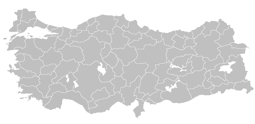
| ဖော်ပြချက် | Blank map of Republic of Turkey's provinces. The regions are carefully separated on per pixel basis and ready for filling in with a paint tool. |
| ရက်စွဲ | |
| ရင်းမြစ် | Self drawn from scratch, based on data from official Turkish motorway network map |
| စာရေးသူ | Atilim Gunes Baydin |
| ခွင့်ပြုချက် (ဤဖိုင်ကို ပြန်လည်အသုံးပြုခြင်း) |
I grant permission for anyone to use this under the terms of GFDL license, see below |
| အခြား ဗားရှင်းများ | Derivative works of this file: Secim2009Turkey.png and File:Ali Galip landing map.png |
လိုင်စင်သတ်မှတ်ခြင်း
ကျွန်ုပ်၊ ဤလုပ်ဆောင်ချက်၏ မူပိုင်ခွင့်ပိုင်ရှင်အနေဖြင့် ဤနေရာမှ အောက်ပါလိုင်စင်များအောက်တွင် ထုတ်လွှင့်ပါသည်:

|
ဤစာတမ်းကို GNU Free Documentation License, ဗားရှင်း ၁.၂ သို့မဟုတ် Free Software Foundation မှ ဖြန့်ချီထားသော မည်သည့်ယခင်ဗားရှင်းတစ်ခုခုအောက်တွင် Invariant Sections, Front-Cover Texts နှင့် Back-Cover Texts များမပါဝင်ဘဲ ကူးယူခြင်း၊ ဖြန့်ချီခြင်း နှင့်/သို့မဟုတ် ပြင်ဆင်ပြောင်းလဲနိုင်ရန် ခွင့်ပြုသည်။ လိုင်စင်မူပွားကို GNU Free Documentation License ခေါင်းစဉ်အောက်တွင် ထည့်သွင်းထားသည်။ |
| ဤဖိုင်ကို Creative Commons Attribution-Share Alike 3.0 Unported လိုင်စင်ဖြင့် သတ်မှတ်ထားသည်။ | ||
| ||
| This licensing tag was added to this file as part of the GFDL licensing update. |
သင်အလိုရှိရာ လိုင်စင်ကို ရွေးချယ်နိုင်ပါသည်။

|
File:Turkey provinces blank gray.svg is a vector version of this file. It should be used in place of this PNG file when not inferior.
File:BlankMapTurkeyProvinces.png → File:Turkey provinces blank gray.svg
For more information, see Help:SVG. |
 |
ဖိုင်မှတ်တမ်း
ဖိုင်ကို ယင်းနေ့စွဲ အတိုင်း မြင်နိုင်ရန် နေ့စွဲ/အချိန် တစ်ခုခုပေါ်တွင် ကလစ်နှိပ်ပါ။
| နေ့စွဲ/အချိန် | နမူနာပုံငယ် | မှတ်တမ်း ဒိုင်မန်းရှင်းများ | အသုံးပြုသူ | မှတ်ချက် | |
|---|---|---|---|---|---|
| ကာလပေါ် | ၂၀:၄၀၊ ၂၅ ဧပြီ ၂၀၁၃ | | ၁၀၂၄ × ၅၀၀ (၃၅ KB) | Maurice07 | Added Bozcaada and some islands on Marmara Sea |
| ၂၂:၁၄၊ ၁၈ ဖေဖော်ဝါရီ ၂၀၀၇ |  | ၁၀၂၄ × ၅၀၀ (၂၃ KB) | AtilimGunesBaydin | Removed Samothraki, which was accidentally included. I'm sorry for the mistake. | |
| ၁၆:၄၆၊ ၂၂ ဒီဇင်ဘာ ၂၀၀၆ |  | ၁၀၂၄ × ၅၀၀ (၂၃ KB) | AtilimGunesBaydin | Slight resize. | |
| ၂၁:၅၁၊ ၂၁ ဒီဇင်ဘာ ၂၀၀၆ |  | ၁၀၂၄ × ၄၉၉ (၂၃ KB) | AtilimGunesBaydin | {{Information |Description=Blank map of Republic of Turkey's provinces |Source=Drawn from scratch on based on data from [http://www.kgm.gov.tr/images/trkh-yeni1.jpg official Turkish motorway network map] |Date=December 21, 2006 |Author=[[:e |
ဖိုင်သုံးစွဲမှု
ဤဖိုင်ကို အသုံးပြုထားသော စာမျက်နှာများမရှိပါ။
ဂလိုဘယ် ဖိုင်သုံးစွဲမှု
အောက်ပါ အခြားဝီကီများတွင် ဤဖိုင်ကို အသုံးပြုထားသည်-
- en.wikipedia.org တွင် အသုံးပြုမှု
- List of largest cities and towns in Turkey
- Provinces of Turkey
- Portal:Turkey
- Government of Turkey
- Portal:Turkey/Provinces
- Template:Turkey Labelled Map
- Administrative divisions of Turkey
- Turkey
- Talk:Ethnic groups in Europe/Archive 2
- Turkish dialects
- User:Underlying lk/sandbox2
- User talk:Vsmith/Archive27
- hi.wikipedia.org တွင် အသုံးပြုမှု
- hr.wikipedia.org တွင် အသုံးပြုမှု
- hu.wiktionary.org တွင် အသုံးပြုမှု
- hy.wikipedia.org တွင် အသုံးပြုမှု
- id.wikipedia.org တွင် အသုံးပြုမှု
- Turki
- Provinsi Adana
- Templat:Turki
- Provinsi Adıyaman
- Provinsi Afyonkarahisar
- Provinsi Ağrı
- Provinsi Aksaray
- Provinsi Amasya
- Provinsi Ankara
- Provinsi Konya
- Provinsi Antalya
- Provinsi Ardahan
- Provinsi Artvin
- Provinsi Aydın
- Provinsi Balıkesir
- Provinsi Bartın
- Provinsi Batman
- Provinsi Zonguldak
- Provinsi Yozgat
- Provinsi Yalova
- Provinsi Bayburt
- Provinsi Bilecik
ဤဖိုင်ကို အခြားနေရာများတွင် အသုံးပြုထားမှုများအား ကြည့်ရှုရန်။