
ဖိုင်:Indonesia Java location map.svg

မူရင်းဖိုင် (SVG ဖိုင်, ၁၃၈၂ × ၇၄၀ pixels ကို အကြံပြုသည်, ဖိုင်အရွယ်အစား - ၁၇၄ KB)
| ဤဖိုင်သည် Wikimedia Commons မှဖြစ်ပြီး အခြားပရောဂျက်များတွင် သုံးကောင်းသုံးလိမ့်မည်။ ယင်း၏ ဖိုင်အကြောင်းစာမျက်နှာ တွင် ဖော်ပြထားချက်ကို အောက်တွင် ပြထားသည်။ Commons သည် မူပိုင်ခွင့်လွတ်လပ်သော မီဒီယာဖိုင်များ သိုလှောင်ထားရာ နေရာ ဖြစ်သည်။ သင်လည်း ပါဝင်ကူညီနိုင်ပါသည်။ |
အကျဉ်းချုပ်
| ဖော်ပြချက် |
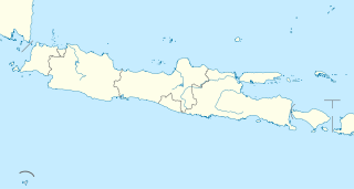
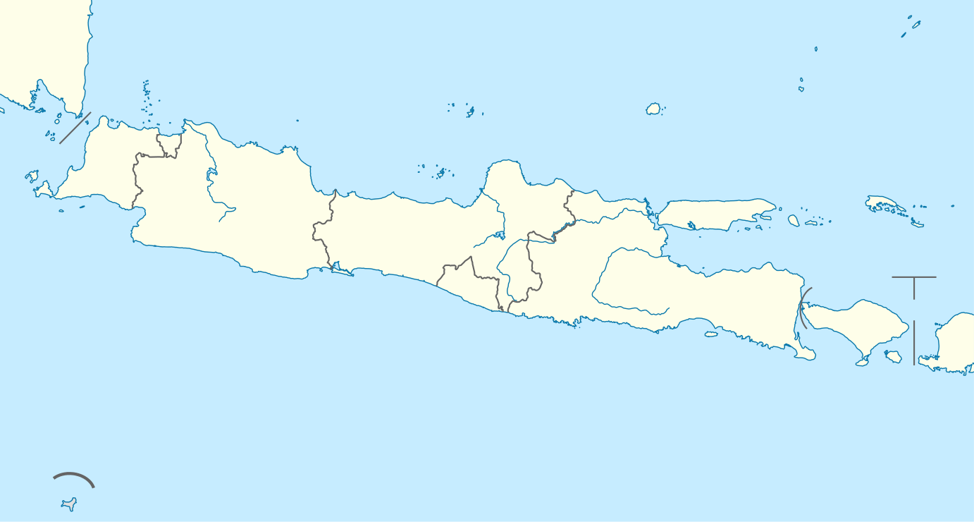
Quadratische Plattkarte, N-S-Streckung 101 %. Geographische Begrenzung der Karte:
Equirectangular projection, N/S stretching 101 %. Geographic limits of the map:
|
|
| ရက်စွဲ | ||
| ရင်းမြစ် |
ကိုယ်ပိုင်ဖန်တီးမှု, using
|
|
| စာရေးသူ | NordNordWest | |
| ခွင့်ပြုချက် (ဤဖိုင်ကို ပြန်လည်အသုံးပြုခြင်း) |
ဤဖိုင်သည် Creative Commons Attribution-Share Alike 3.0 ဂျာမနီ လိုင်စင်အောက်တွင် လိုင်စင်သတ်မှတ်ထားပါသည်။
 ဤဖိုင်ကို Creative Commons Attribution-Share Alike 3.0 Unported လိုင်စင်ဖြင့် သတ်မှတ်ထားသည်။
|


|
This map has been made or improved in the German Kartenwerkstatt (Map Lab). You can propose maps to improve as well.
|
ဖိုင်မှတ်တမ်း
ဖိုင်ကို ယင်းနေ့စွဲ အတိုင်း မြင်နိုင်ရန် နေ့စွဲ/အချိန် တစ်ခုခုပေါ်တွင် ကလစ်နှိပ်ပါ။
| နေ့စွဲ/အချိန် | နမူနာပုံငယ် | မှတ်တမ်း ဒိုင်မန်းရှင်းများ | အသုံးပြုသူ | မှတ်ချက် | |
|---|---|---|---|---|---|
| ကာလပေါ် | ၂၀:၃၄၊ ၇ ဖေဖော်ဝါရီ ၂၀၁၁ | | ၁၃၈၂ × ၇၄၀ (၁၇၄ KB) | NordNordWest | =={{int:filedesc}}== {{Information |Description= {{de|Positionskarte von Java, Indonesien}} Quadratische Plattkarte, N-S-Streckung 101 %. Geographische Begrenzung der Karte: * N: 3.0° N * S: 9.5° S * W: 123.7° O * O: 141 |
ဖိုင်သုံးစွဲမှု
အောက်ပါ 2 စာမျက်နှာများ သည် ဤဖိုင်ကို အသုံးပြုထားသည်:
ဂလိုဘယ် ဖိုင်သုံးစွဲမှု
အောက်ပါ အခြားဝီကီများတွင် ဤဖိုင်ကို အသုံးပြုထားသည်-
- ar.wikipedia.org တွင် အသုံးပြုမှု
- azb.wikipedia.org တွင် အသုံးပြုမှု
- az.wikipedia.org တွင် အသုံးပြုမှု
- ban.wikipedia.org တွင် အသုံးပြုမှု
- Candi Prambanan
- Gunung Ijén
- Gunung Merapi
- Merbabu
- Taman Nasional Gunung Halimun Salak
- Candi Sukuh
- Candi Mendut
- Taman Nasional Baluran
- Candi Pawon
- Candi Gedong Songo
- Gunung Kelud
- Mal:Location map Jawa
- Kawah Karaha
- Candi Barong
- Gunung Seméru
- Celuk Jakarta
- Celuk Pelabuhanratu
- Celuk Bandialit
- Celuk Banten
- Celuk Cilauteureun
- Celuk Ciletuh
- Celuk Lada
- Celuk Penyu
- Celuk Permisan
- Gunung Patuha
- Taman Nasional Bromo Tengger Seméru
- Taman Nasional Kapuloan Seribu
- Taman Nasional Gunung Merbabu
- Taman Nasional Gunung Merapi
- Taman Nasional Gunung Gedé Pangrango
- Taman Nasional Gunung Ciremai
ဤဖိုင်ကို အခြားနေရာများတွင် အသုံးပြုထားမှုများအား ကြည့်ရှုရန်။