
ဖိုင်:Canada (geolocalisation).svg

Size of this PNG preview of this SVG file: ၇၀၆ × ၅၉၉ ပစ်ဇယ်. အခြား ပုံရိပ်ပြတ်သားမှု: ၂၈၃ × ၂၄၀ ပစ်ဇယ် | ၅၆၆ × ၄၈၀ ပစ်ဇယ် | ၉၀၅ × ၇၆၈ ပစ်ဇယ် | ၁၂၀၇ × ၁၀၂၄ ပစ်ဇယ် | ၂၄၁၃ × ၂၀၄၈ ပစ်ဇယ် | ၁၀၈၄ × ၉၂၀ ပစ်ဇယ်။
မူရင်းဖိုင် (SVG ဖိုင်, ၁၀၈၄ × ၉၂၀ pixels ကို အကြံပြုသည်, ဖိုင်အရွယ်အစား - ၉၄ KB)
| ဤဖိုင်သည် Wikimedia Commons မှဖြစ်ပြီး အခြားပရောဂျက်များတွင် သုံးကောင်းသုံးလိမ့်မည်။ ယင်း၏ ဖိုင်အကြောင်းစာမျက်နှာ တွင် ဖော်ပြထားချက်ကို အောက်တွင် ပြထားသည်။ Commons သည် မူပိုင်ခွင့်လွတ်လပ်သော မီဒီယာဖိုင်များ သိုလှောင်ထားရာ နေရာ ဖြစ်သည်။ သင်လည်း ပါဝင်ကူညီနိုင်ပါသည်။ |
.svg)
| ဖော်ပြချက် |
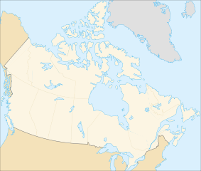
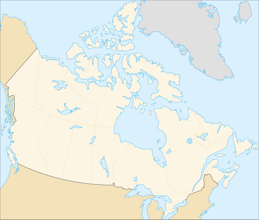
English: cropped version of Image:Carte administrative du Canada.svg for map location. (Lambert conformal conic projection from The Atlas of Canada) |
| ရက်စွဲ | |
| ရင်းမြစ် | Image:Carte administrative du Canada.png. |
| စာရေးသူ | STyx |
| ခွင့်ပြုချက် (ဤဖိုင်ကို ပြန်လည်အသုံးပြုခြင်း) |
This file is licensed under the Creative Commons Attribution-Share Alike Attribution-Share Alike 4.0 International, 3.0 Unported, 2.5 Generic, 2.0 Generic and 1.0 Generic license.
|
| အခြား ဗားရှင်းများ |
Derivative works of this file: |
Locations
Le cadrage est x=80px, y=166px, height=920, width=1084. Quelques positions :
| x | y | |
| pôle Nord | 475.5 | -159.5 |
| Alert | 565 | 9 |
| Vancouver | 77 | 678 |
| Montréal | 807 | 798 |
| Winnipeg | 442 | 753 |
| Iqaluit | 718 | 396 |
ဖိုင်မှတ်တမ်း
ဖိုင်ကို ယင်းနေ့စွဲ အတိုင်း မြင်နိုင်ရန် နေ့စွဲ/အချိန် တစ်ခုခုပေါ်တွင် ကလစ်နှိပ်ပါ။
| နေ့စွဲ/အချိန် | နမူနာပုံငယ် | မှတ်တမ်း ဒိုင်မန်းရှင်းများ | အသုံးပြုသူ | မှတ်ချက် | |
|---|---|---|---|---|---|
| ကာလပေါ် | ၀၁:၄၈၊ ၇ ဖေဖော်ဝါရီ ၂၀၀၇ | | ၁၀၈၄ × ၉၂၀ (၉၄ KB) | STyx | retouche mineure |
| ၀၁:၄၁၊ ၇ ဖေဖော်ဝါရီ ၂၀၀၇ |  | ၁၀၈၄ × ၉၂၀ (၉၄ KB) | STyx | {{Created with Inkscape}} {{Information |Description= *{{fr}} Version recadrée et épurée de Image:Carte administrative du Canada.svg pour la géolocation du Canada. Le cadrage est x=80px, y=166px, height=920, width=1084. Quelques positions : <cent |
ဖိုင်သုံးစွဲမှု
ဤဖိုင်ကို အသုံးပြုထားသော စာမျက်နှာများမရှိပါ။
ဂလိုဘယ် ဖိုင်သုံးစွဲမှု
အောက်ပါ အခြားဝီကီများတွင် ဤဖိုင်ကို အသုံးပြုထားသည်-
- de.wikipedia.org တွင် အသုံးပြုမှု
- fr.wikipedia.org တွင် အသုံးပြုမှု
.svg)